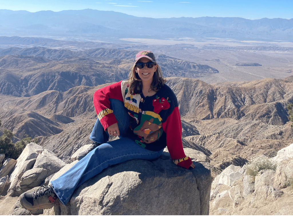
Hi! I’m Natalie Teboul. Better known to students, teachers, and park rangers across the country as Traveling Miss T.
I never planned on becoming a mapmaker, much less building a career around GIS, geography, and interdisciplinary teaching. In fact, when I graduated with a degree in Human Development in 2014, I assumed I’d work in counseling or higher education. But like most good stories, mine took a few surprising turns. Each one brought me closer to the world of interpretation, innovative education, and ultimately, GIS-powered storytelling. Today, I help students explore the world through Math Maps ©, which are interactive, place-based coordinate plane activities for classrooms, museums, and public lands. It’s work I love deeply. This is the story of how I got here, and what I hope rising GIS professionals and educators will take away from my winding path north.
EAST: Where “Interpretation” First Found Me (before I knew what it was)
My geography roots didn’t start with a map, they began in a Bronx classroom.
At twenty-two, fresh out of college, I joined the New York City Teaching Fellows and unexpectedly became a 6th-grade math and science teacher in a high-need neighborhood. I had no formal science background, yet I found myself designing a field trip activity for Blackrock Forest. I didn’t know then that what I was doing was interpretation. I didn’t know there were interpretive experts creating resources. I didn’t know there was a whole profession dedicated to connecting people to place.
 But I did know what I saw: students stepping into a forest for the first time, breathing clean air, playing with scientific tools, and discovering joy in a world outside the city.
It was my first true experience in a place-based learning setting, and the first hint that maps, place, and education were paths I’d follow years later.
WEST: My Move to California (and how it led me to maps)
In 2016, I moved from New York City to California to earn my MFA in Creative Writing. I thought I was coming here to write a book. Instead, California taught me how much I loved geography.
Teaching 5th grade on the West Coast completely changed me. When I taught U.S. Geography and the state capitals, I found myself falling in love with cartography. I began making hand-drawn maps, exploring digital ones, and thinking about new ways to help students understand place.
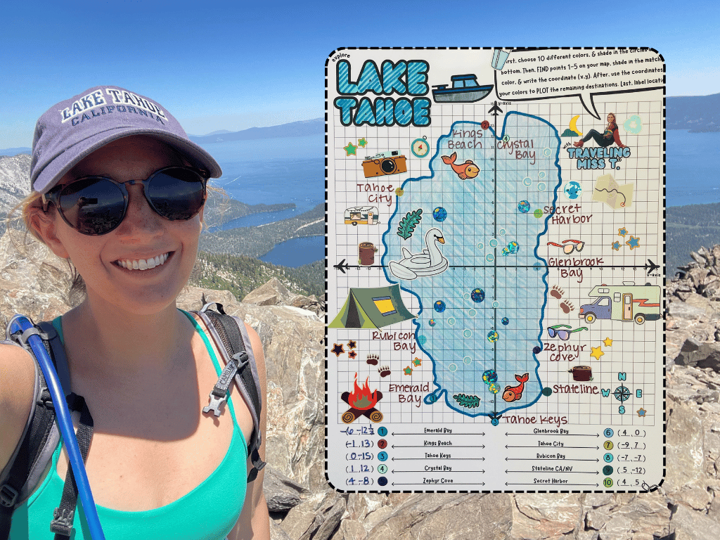
But the real shift came in 2020. After the most chaotic school year imaginable, teaching on Zoom, my now-husband and I took a month-long road trip through national parks. I didn’t know it at the time, but this trip was the moment I stepped onto the path toward GIS.
That trip taught me how powerful public lands, informal education, and interpretation could be. It also showed me how much students needed tools that connected them to these places. Especially kids who may never get the chance to visit in person.
SOUTH: Building Something New (and the resistance that came with it)
When I created my first Math Map ©, I thought I was simply blending my love of teaching with my passion for geography and creativity. But what I didn’t realize at the time was that I was actually stepping into something much more difficult: building a completely new educational model that didn’t exist yet. Innovation sounds exciting in theory, until you’re the one doing it.
As I started researching, testing, and refining the Math Map concept, I realized I wasn’t just creating a resource. I was challenging the way public lands, educators, and institutions think about place-based learning. I wasn’t expanding an existing system, I was carving out a new map altogether. And that is where the hardships began.
If entrepreneurship has taught me anything, it’s this: The more innovative your idea, the more hesitant people can be to accept it. Many educational and interpretive systems have been doing things the same way for decades, and when something disrupts that rhythm, even if it’s helpful, scalable, and relevant, most leaders respond with caution and skepticism. Not because they’re against change, but because change requires work, trust, and stepping into the unknown. I will forever appreciate my first real partners at the Denali Education Center, who trusted me to build something bigger than I could even describe at the time.
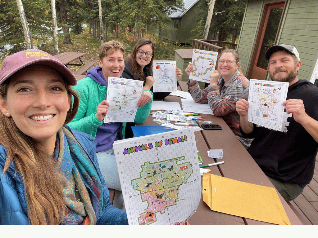
The more resistance I encountered, the more I understood just how needed Math Maps truly were, and the more I pushed my way in. I saw a gap no one else was filling: the link between public lands, interpretive work, geography and modern classrooms. Especially in a world where teachers need flexible, interdisciplinary resources more than ever before.
And the south, this season of struggle, was the necessary direction I had to travel before finding my north.
NORTH: Finding My Direction (and a place in the GIS community)
If there is one thing my journey has taught me, it is that finding your true north often requires finding your people. In July of 2025, I attended my first Esri Education Summit, and it felt like I was finally stepping into the right room at the right time. I was surrounded by geographers and educators who were genuinely excited about the work I am doing with Math Maps. The experience was transformative. I learned how to use ArcGIS StoryMaps (honestly I didn’t know that technology existed) and immediately realized how powerful these tools could be for helping teachers, students, and the public visualize place in new ways. Since then, StoryMaps and other Esri tools have become game changers in my creative process. They have allowed me to develop more accurate, engaging, and immersive Math Maps that bring geographic concepts to life through technology.
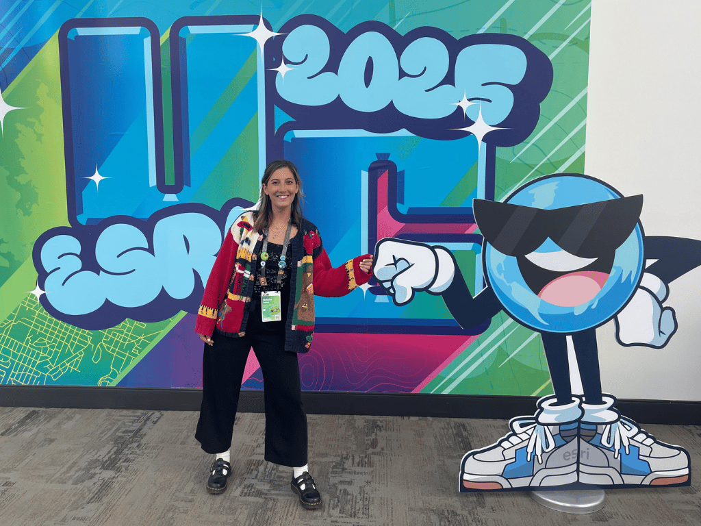
In fact, after learning how to use Esri tools, I went back and edited all of my published Math Maps, and began creating StoryMaps for all my past projects with public land sites. I cannot wait to launch my next free field trip: Explore Joshua Tree National Park this January using everything I’ve learned in the past six months.
For years, I have also been grateful for the support of the American Geographical Society and the American Association of Geographers. Through our ongoing social media collaboration, Travel Tuesday, both organizations have amplified my work and helped bring place-based education to thousands of new students and teachers. Their consistent encouragement reminds me that the work I am doing has purpose and resonance within the broader geography community. My point is simple. When we stay open to collaboration and listen to those around us, we discover allies who help guide us toward our northern star. Whether it is interpretive leaders, teachers, GIS professionals, or nonprofits, working together and outside our own industry allows us to create impact far greater than anything we could accomplish on our own. GIS gave me a new direction. It became my north.
If there’s one message I hope educators and aspiring GIS professionals take from my story, it’s this: You don’t need to follow an existing map. You need to make your own!