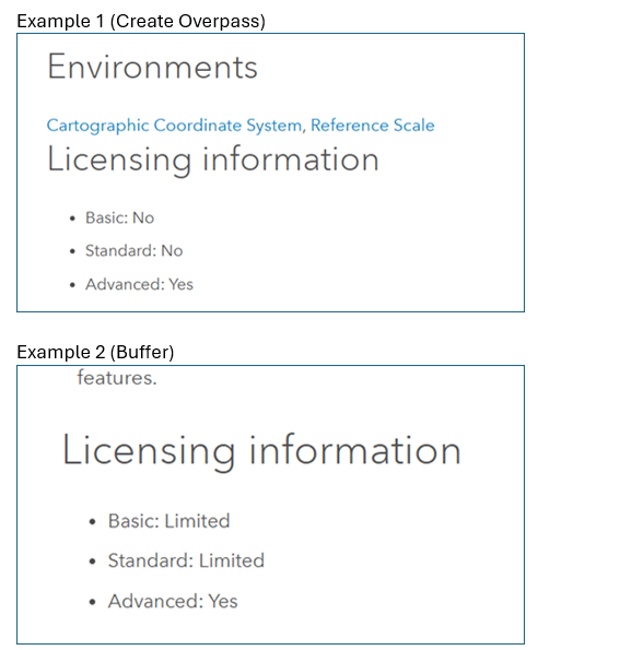
I would like to see a comprehensive list of geoprocessing tools organized by licensing level. This would make it easier to understand licensing tiers and how they impact my organization’s users, and would provide clearer insight into which tools are available to each user tier.
Currently, it is difficult to determine what is included with Professional Plus without clicking into each individual tool across multiple toolboxes.
This page (ArcGIS Pro license levels—ArcGIS Pro | Documentation) is too general to make decisions on user type allocations.
Below is an image with the data I'd like to see for every geoprocessing tool in an excel sheet.