Hello all,
I am currently a student at the University of West Florida working toward my GIS certification, and I am a GIS intern at a local county property appraiser's office.
A previous student intern at the office had begun a project georeferencing scanned historical mylar aerial images, and I am taking over where he left off.
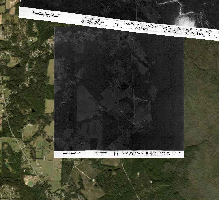
The images all have a white border with information about that individual shot. The team would like to eventually crop these images to have them function as a mosaic. I am trying to figure out if it is possible to crop the rasters that have already been georeferenced.
I have tried using the Clip Raster tool and drawing my clipping extent. This works great on the images BEFORE they have been through the georeferencing process. However, when I use the tool on rasters that have already been georeferenced, the output still has some of the white border, even outside of the temporary polygon bounding box used for the clipping extent.
I thought I had a screenshot of the output, but it is on my work computer. I'll be able to include a screenshot tomorrow if necessary. I am including a screenshot of one of the images before georeferencing, just so you're able to visualize the border I'm attempting to remove. I'm hoping you all can give me some insight on how to make this work.
Thank you!
Austin