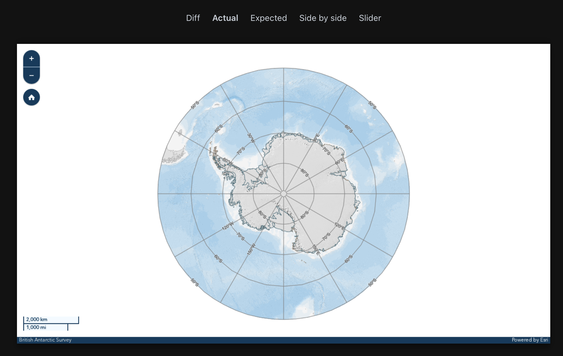
Our end-to-end testing has picked up an apparent labelling issue in the latest release. We have some logic to create a client side graticule layer within our application which can work on any projection.
In the application since the 4.33 release labels no longer appear on a Antarctic Polar Stereographic map along constant lines of longitude at 0,90,180,270. The labels never appear for any zoom level, so I think there is an issue tied to the polar projection being used?
Difference:
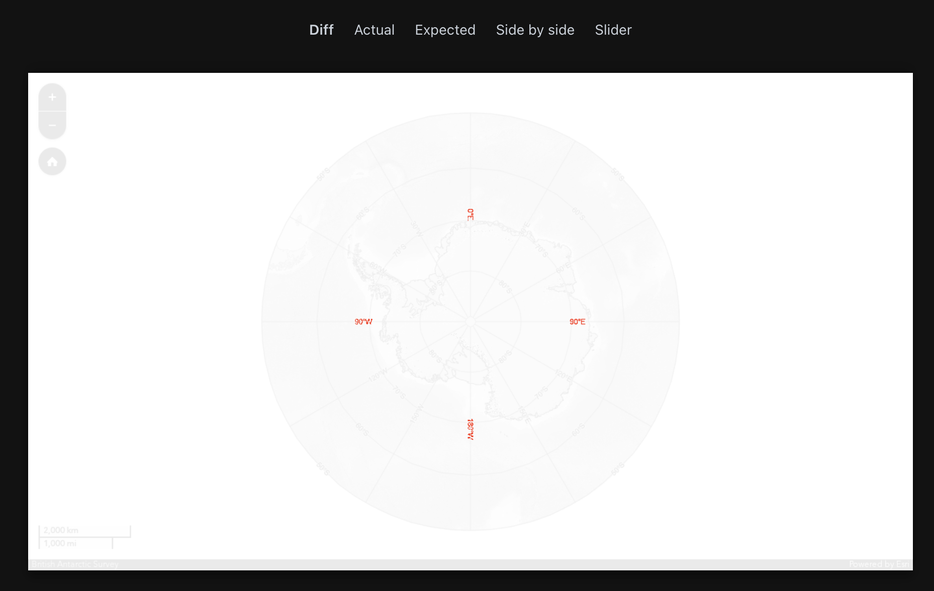
version 4.32:
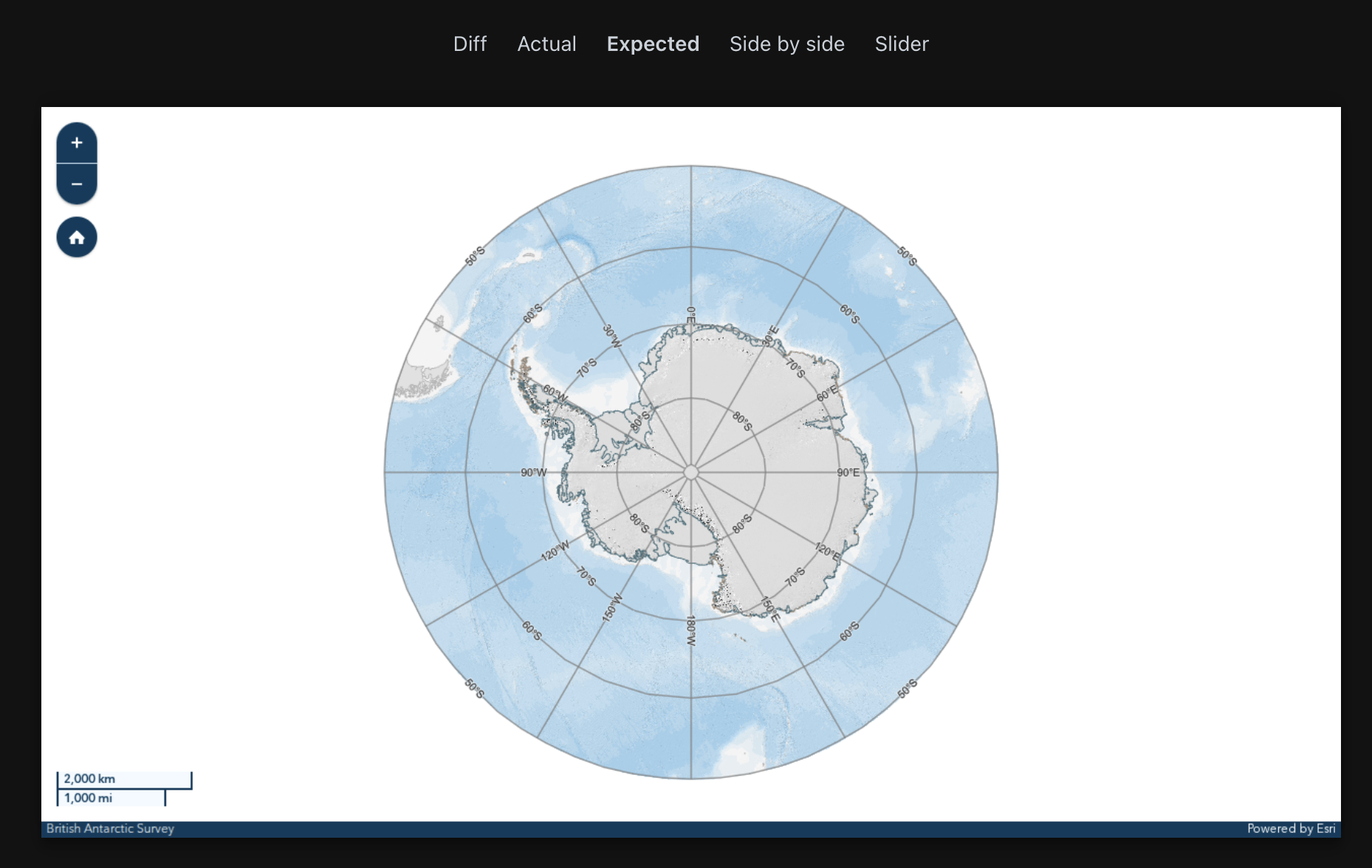
Version 4.33: