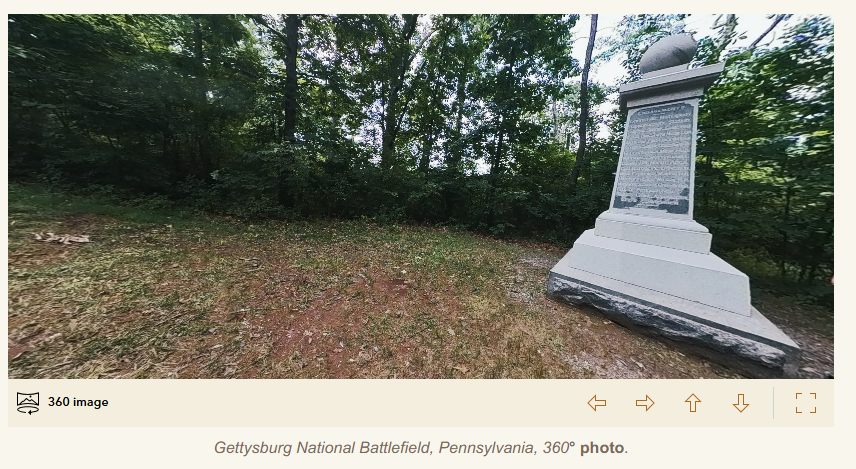
As announced recently , ArcGIS StoryMaps now allow 360-degree images to be embedded. As a long time photographer and educator, I was very excited to try this new capability, and I encourage you to do the same. As explained in the linked announcement, all you need to do is to select a 360 image from the block palette to add your supported JPG or PNG image file. It must be under 25 MB in size and have an aspect ratio between 1:5:1 and 3:1. After adding your image, you will find a familiar menu of options by hovering near the top of the 360 image viewer, along with accessible mouse and button controls to navigate the image as well as a Enter full screen mode at the bottom of the viewer.
The storymap I created illustrates the new capability of using 360 images in ArcGIS Story Maps, and provides some instructional ideas.
https://storymaps.arcgis.com/stories/95384ab62cd146b69ac193fbeceae9b7
I encourage you and your students to use my 360° images and move them side-to-side or up and down, and do the same with my 360° videos. One thing you can do with these images is teach about the physical and cultural landscape of specific regions around the world using these immersive photos within a story map. These photos draw the student into the landscape, making it as real as possible without actually being there, in a way that I believe not even a video can match. You as the instructor can create these story maps, but even better is to also invite your students to create these story maps. You can use them as instruments to assess student learning, students can use the story maps to explain the results of their investigations in an online or face-to-face course, and the story maps can become part of the students’ portfolios.
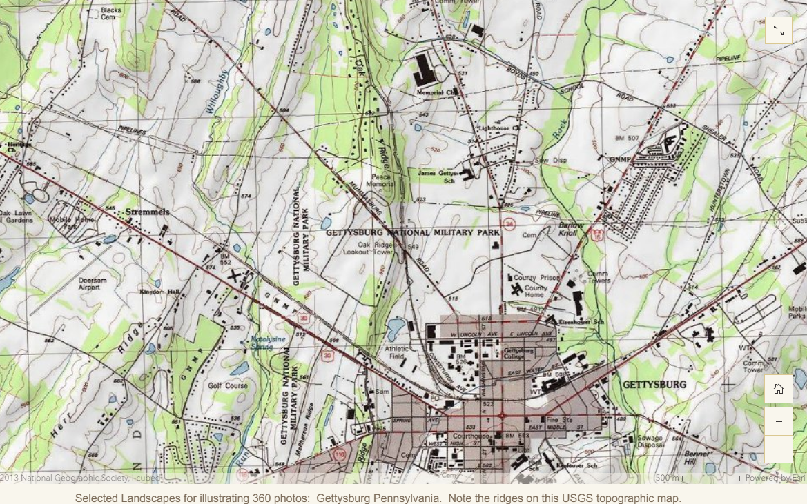
In the story map, I provide examples on some remarkably flat lands--the Llano Estacado and Central Illinois, hillsides in Missouri, cliffsides along the North Sea, and historical landscapes in Gettysburg, Pennsylvania and in the ruins of Whitby Abbey in England. This represents only the beginning of what can be done; for example, I link to my colleague’s VR immersive capabilities and provide additional technical and instructional ideas in the story map. I look forward to your comments and what you are doing with these tools!