Hello,
I am trying to create a polygon from a .tif raster. When I use the Raster to Polygon tool, the generated polygons are all offset to the north by quite a bit.
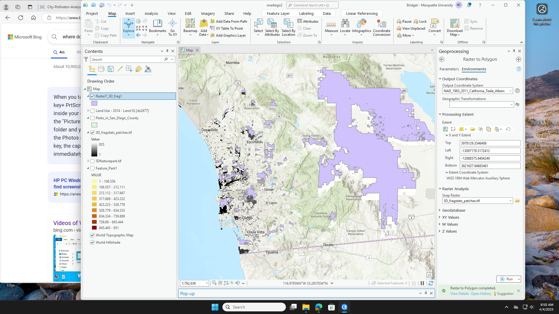
I am aware of all the projections/transformations. I have been through every layer/feature and they are all set to the same projection and coordinate system. When I create the polygons, I make sure to set the output coordinate system to the same as the input raster, I set the extent to the same as the input raster, and I use 'snap to raster' to snap to the input raster. Despite all of that, it still returns polygons that are offset into the wrong position. Can anyone help me out?





