Hi GIS'ers.
I've been asked to develop a tool that would create a 1/4 mile buffer and then create a report that would list all mapped items within that buffer (points, lines and polygons). I thought the Zone Lookup Instant App would be my saving grace instead of slogging thru a python script tool.
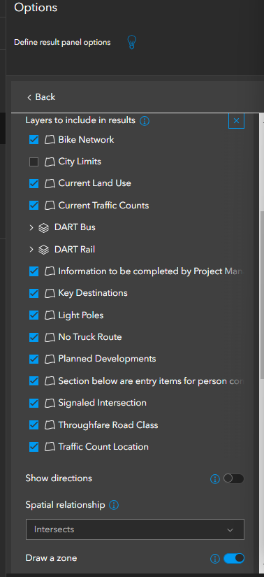
I have everything configured in the map and the app, and I am not getting the expected results when I use the line tool and a 1/4 mile buffer. I've chosen "Feature Within a Zone" and the spatial relationship is "Intersects" all of the following:
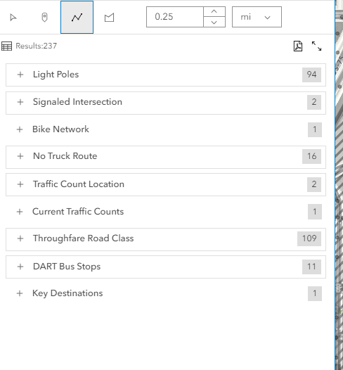
Yet the results are missing some of the polygons (Current Land Use for example).
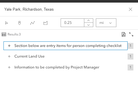
However, when I use the point and a radius, it only puts the polygon layers:
Ideally I want all of the above layers to show when I use the line tool. Is that possible?
You can check out the app here.
Thank you.


