I'm not sure what the best tool is to solve this issue. We have many dump sites around the metro area with different dump prices.
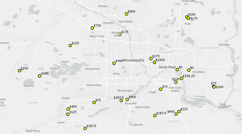
How would I make polygons around the sites that indicate the cheapest location to go to?
Here are two example starting points that would need to fall within a sites polygon.
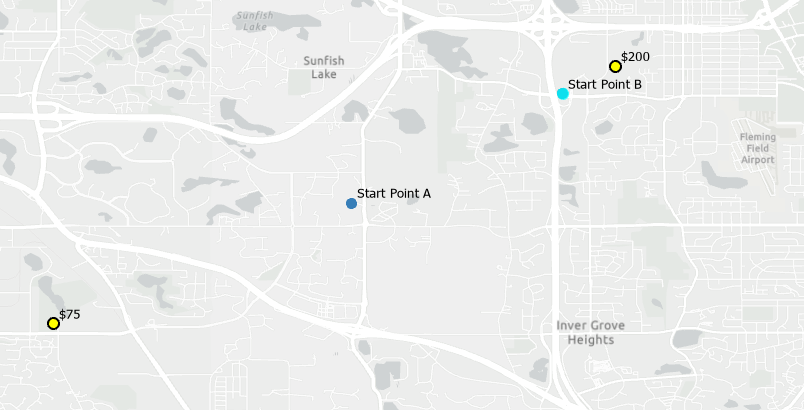
Lets say it costs the driver $25 per mile to drive around. If the driver is equally far away from two sites (Starting Point A), the 75$ site would be a better choice. Starting Point A should fall within the $75 sites service area polygon. Starting point B should fall within the $200 drive time due to the short travel cost.
It seems like the Service Area tool is the correct options but I'm not sure how to configure it and populate the facility attributes.

I am using the ArcGIS Online service for network data source.
Thanks for any advice.




