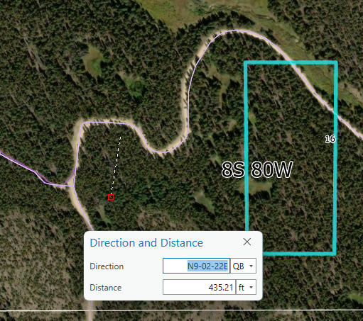
Hey Arc Community, I was hoping that someone could show me how to change my distances to geodesic when digitizing. It seems that I can only draw in planar distances on my project when I'm trying to utilize geodesic. Any tips or info would be greatly appreciated!
Screenshot below is for reference.