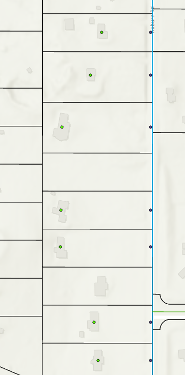
I made a frequency table based on geocoded complaint points. All the geocoded points are in the middle of a house, and the frequency points are in the road, even though the xy coordinates used for frequency were taken directly from the geocoded points. They're both in the same coordinate system with the same XY fields, and I don't understand why they don't match.