What is the point or goal of attaching data to a map in ArcGIS Pro? I have attached 240,000 addresses. Here they are; you can see them in the picture. So what? What good is supposed to be provided?
If I need to have longitude and latitude values created for these 240,000 addresses, has attaching the data like this made any kind of progress?"
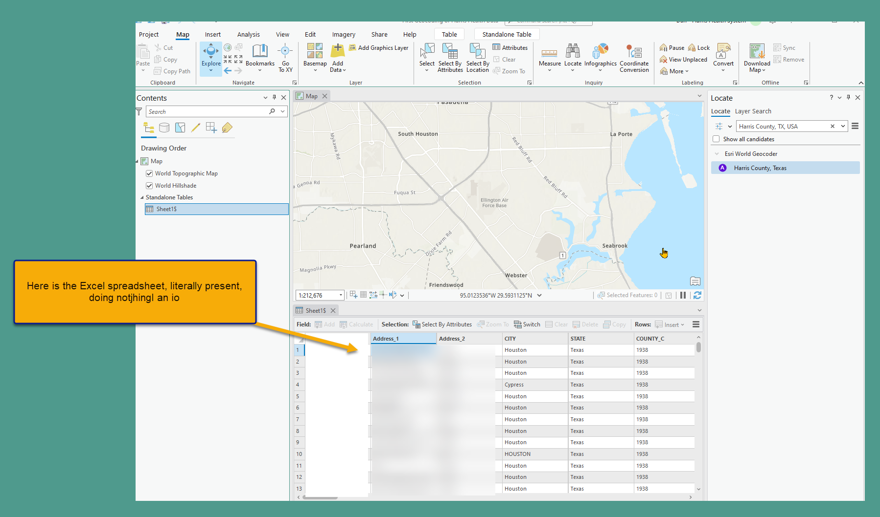
One of the things I need done is to have latitude/longitude data added to each of the 240,000 addresses. Does attaching the 240,000 address to the map with an excel file help with that goal?


