Hey community,
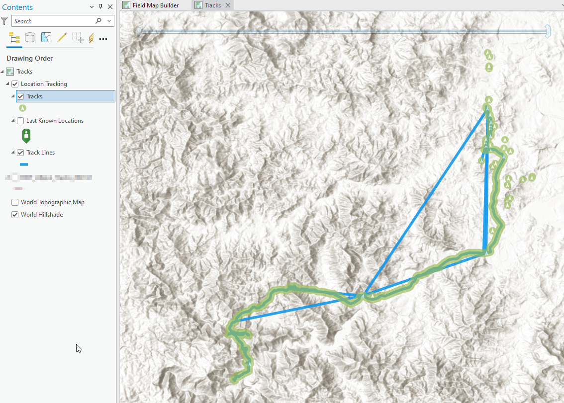
I have been needing to prepare the results of surveys completed by our field teams. Looking at the results of the location tracking service, the Track Lines have a lot of extra straight long lines that are not part of the survey. The image below is an example and has been filtered to only one user. I have made the point 'Tracks' layer transparent so you can see the 'Track Lines' underneath.
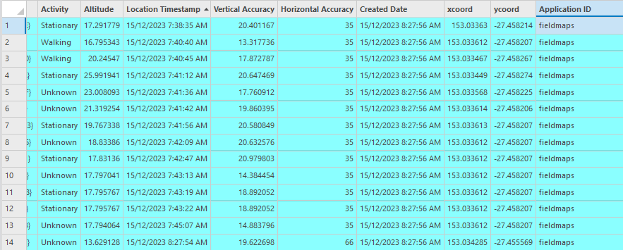
Looking into the data, I initially thought that these extra track lines are due to the location of a device always adjusting and bouncing around and each of these get recorded as a point, as is evident in the table below:
But that would mean that the line would just continue going and there would not be these random extra lines showing up. At certain locations I see that multiple points get created with the only difference being the altitude.
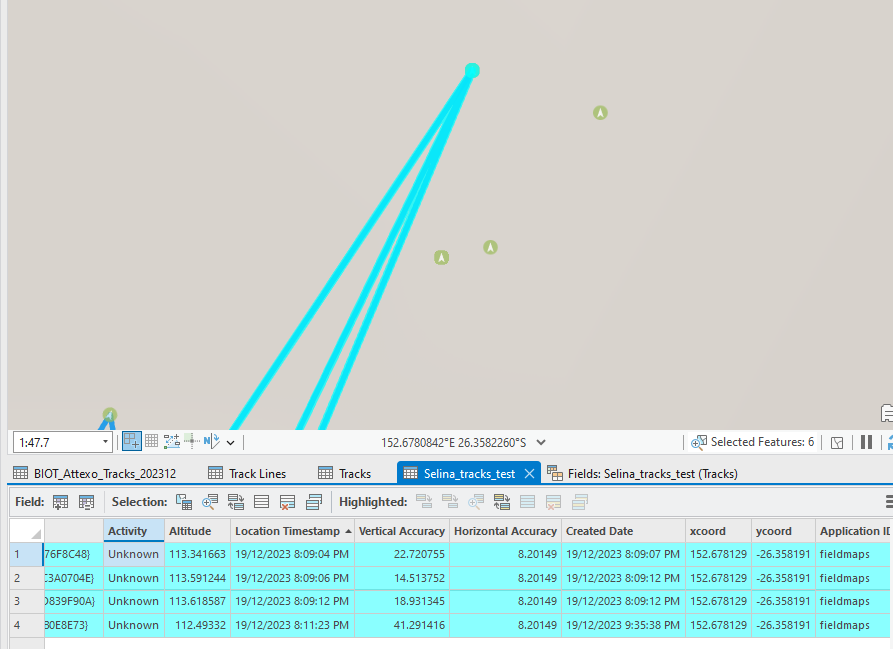
Then it spurs off multiple different lines that don't follow the correct path and start connecting to other points and creating incorrect lines:
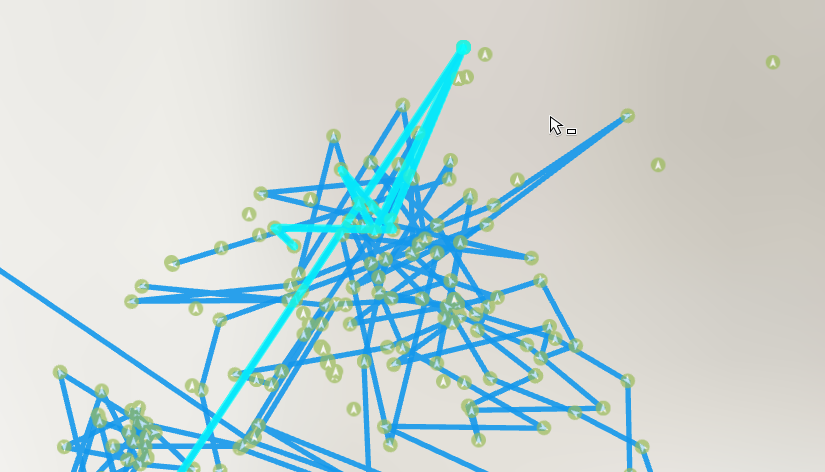
Anyone know what is going on here? Is it a BUG?
Secondly, is the best solution to create my own line layer after cleaning up the point layer?
My thoughts are remove the duplicate points with the exact same coord but have different vertical accuracy then maybe all is fixed?
Has anybody done something like this? Was thinking Data Interoperability be the best tool to action this in a standardised repeatable way?


