Any tips or ideas are very welcome!
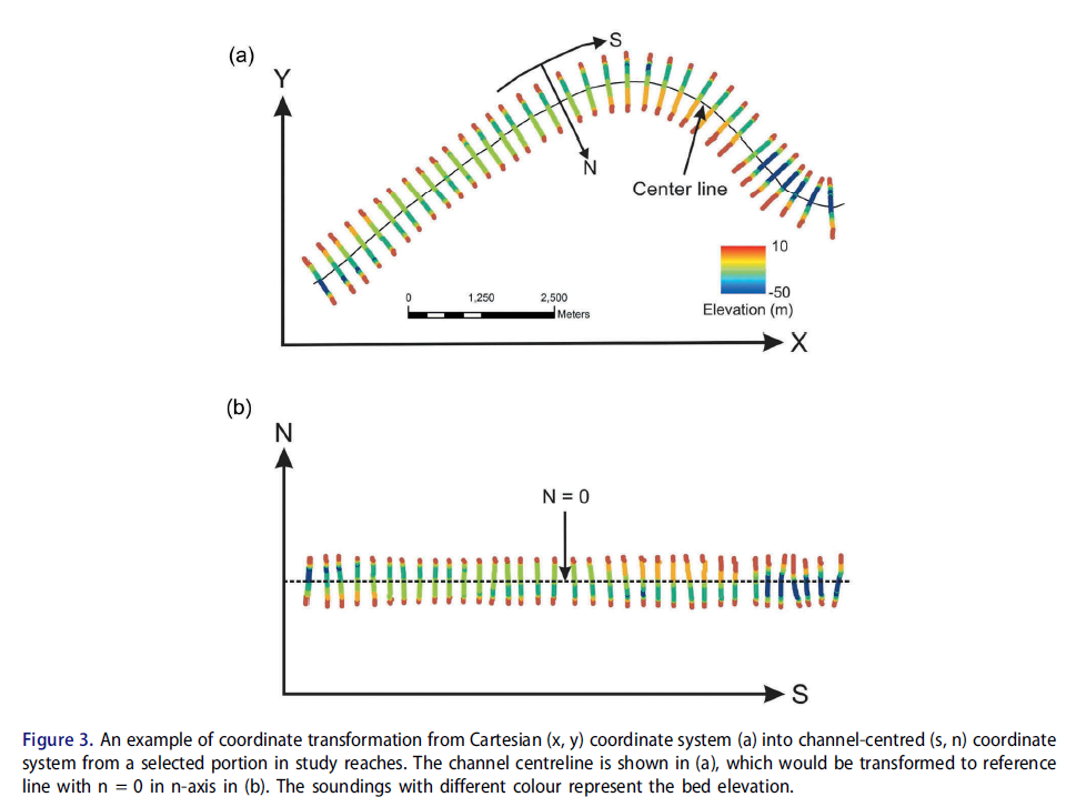
I converted XY coordinates for sample sites within a river to SN coordinates based on distance along a river centerline (routed river) and distance from the river centerline (Locate Features along route). See below figure from a publication on this. I now want to run ordinary kriging with anisotropy however I first need to figure out how to spatially reference the SN coordinates. The S coordinates range from 0 to 550,000 meters while the N coordinates are +/- 0 to 600 meters depending on side of the river.
I have been tinkering around with creating a new GCS and have searched the ESRI Community Resources and web for tips and tutorials. The ESRI page on Defining New Coordinate Systems is quite vague. https://pro.arcgis.com/en/pro-app/3.1/help/mapping/properties/define-a-new-coordinate-system.htm.
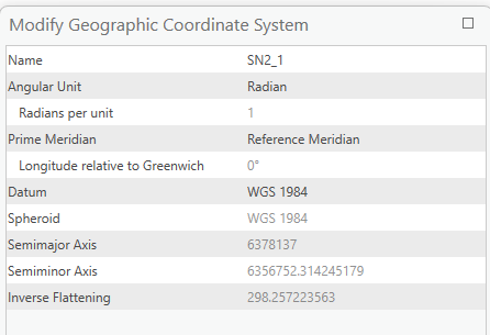
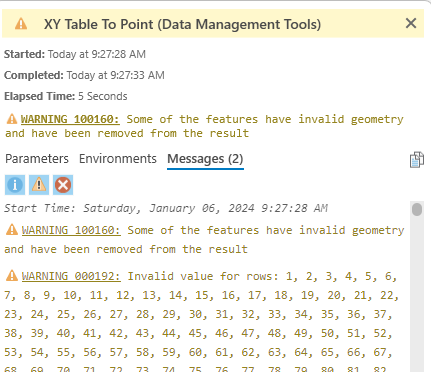
Below is a screen capture of one of my attempts to create a GCS. After creating this (and other attempts), when I tried to display the SN coordinates, that fails due to invalid geometry.