I have a custom geoprocessing service I am trying to set up in ExB.
The input is a Feature Set and ExB recognizes it as a GPFeatureRecordSetLayer.
In WAB, when someone runs the tool, it prompts the user to draw a selection area:
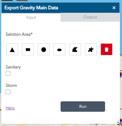
Is there a way to have ExB do this? Right now it just asks for a Layer.
The user needs to define the area they want to use.

