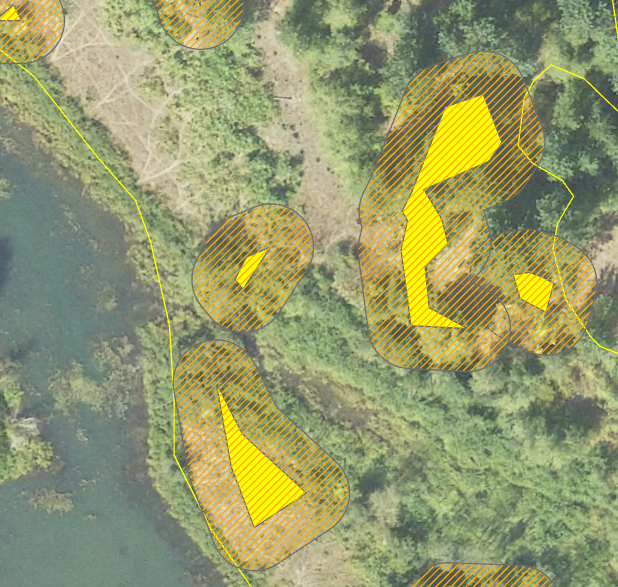
Below you can see I've applied a 25 foot buffer to my geospatial data. I'm trying to calculate the acres of noxious weeds treated within a given area. I have many overlapping polygons due to the buffer. The buffer models the plant's rhizomes extending beneath the soil, so its an important feature for my dataset. How can I accurately calculate acres treated with all my overlapping buffered polygons? Is there a tool I can apply to all my overlapping polygons at once? And how would I go about doing that?
Thank you for your time and support!


