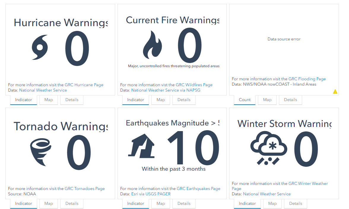
So I have been trying to replicate the following indicator/map/details as shown in the following screenshot. The screenshot was captured from FEMA Geospatial Resource Center. Now let's say I want to get the Hurricane info from USA Weather Watches and Warnings.
How can I first add the layer to an indicator? Because when I use my organizational account to add this layer to an `Indicator`, it does not give me the option to add data from the `living atlas`.
How can I then connect the indicator to get the `Hurricane Watch` data (live data) from this layer?