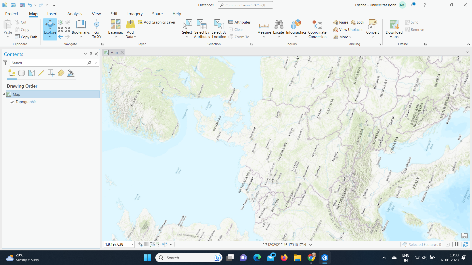
I am trying to calculate the distances of bank branches in the US, for which I need to add the XY coordinate Excel data file. However, when I try to change the coordinate system from WSG 1984 to USA Contiguous Equidistant Conic in the map properties, I still get the same screen with Europe and it doesn't change.
Please let me if I have missed any steps or how to go through with it.
Thank you!


