Hi All,
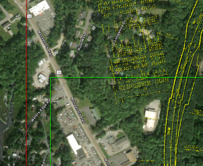
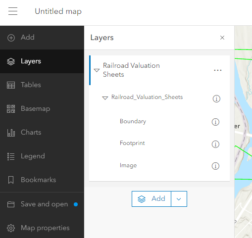
I'm trying to georeference historical maps in our area to overlay with other data. I opted to use a mosaic dataset because I thought it would help with editing and building it out over time. When publishing this as a tile layer, it automatically turns on the "Boundary" and "Footprints" items, which I would like to hide. They show as green and red in the image below.
Any idea how I can turn these off? Or, is there a different approach I could take?
Work in progress product is here: https://swrpc.maps.arcgis.com/apps/instant/sidebar/index.html?appid=c3a2a080596445f089b8fd94156128e2.
Item is here: https://swrpc.maps.arcgis.com/home/item.html?id=d3e7ffb4404646ecbb433728fce3aaf2.