Hi,
I have been working on making TM maps using TDS data in ArcGIS Pro and got some problems with displaying coast features in Adjoining Sheets Guide, Boundaries, and Elevation Guide maps.
Here's how I went through the steps to make a TM map.
First, I selected an index of the coastal area through the Production Manager application. The area contains tidal water features (F_Code BA040 of Hydrography Surface feature class).
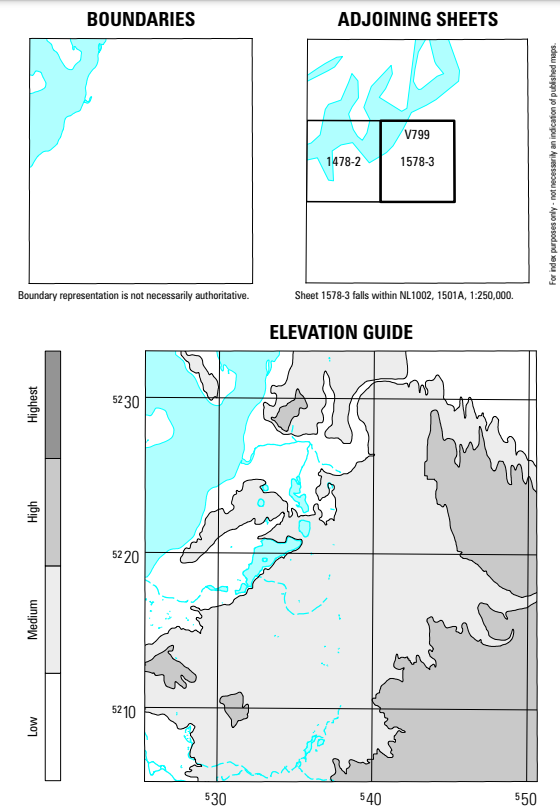
Then, I ran a "Cartography-Automated" job to create a TM map in ArcGIS Pro. The expected output should display blue-colored tidal water features in Boundaries, Adjoining Sheets, and Elevation Guide maps.
For example, one like this:
However, the output was totally different from what I expected. It did NOT have those features on the map, also the BaseMap.
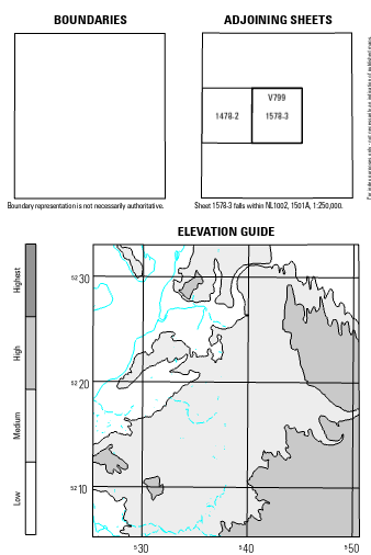
It is weird that TDS data does have the features, but the output does not.
Does anyone have this kind of issue when generating a map or know how to fix this?
Thanks 🙂


