When a user makes a measure (Point, Line, Path, Circle or Polygon) and saves it as a drawing, some information get written in the <description> element of the KML. Examples :
- A Point will record the Latitude, Longitude and Elevation
- A Line will record the Distance and Heading
- And so on...
It may be useful at first hand. But when the drawing is edited afterward, the information of the <description> becomes obsolete and misleading :
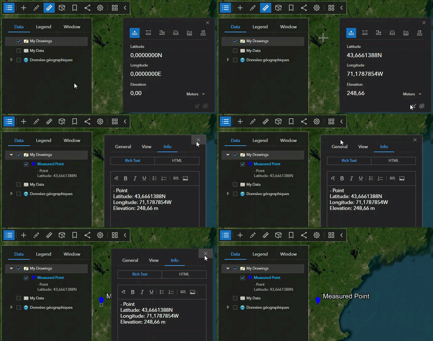
Could the information of the <description> be updated with the edits? It would be great. If not, I suggest that no information should be stored when a measure is saved in the first place.
Thank you.

