Hi all,
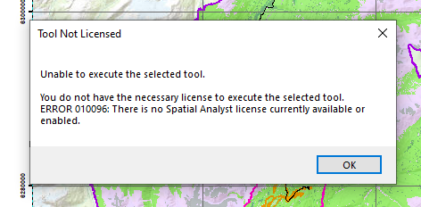
I'm in the process of trying to utilize ArcToolbox to convert a raster image into polygons for use in CAD. Unfortunately the raster to polygon tool won't work as the raster image contains floating raster points (32 bit). I found a potential solution of utilizing the raster calculator to convert a floating type raster to a polygon feature class but It's not under my current license (using ArcMap). I'm wondering if there's a different solution with the version I have or if I'm simply out of luck. Thanks in advance!