Hi all,
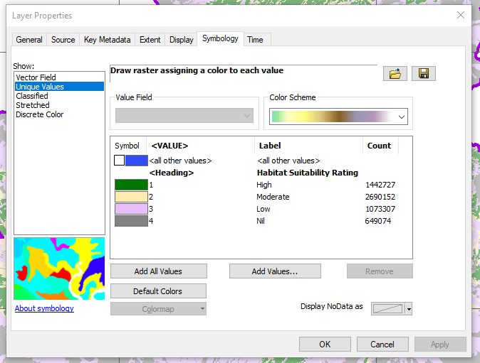
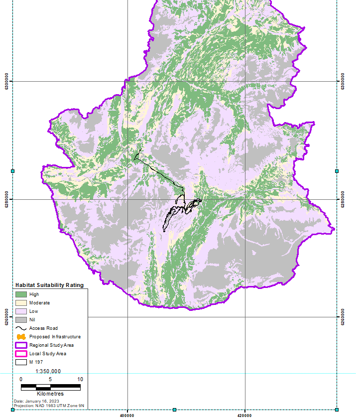
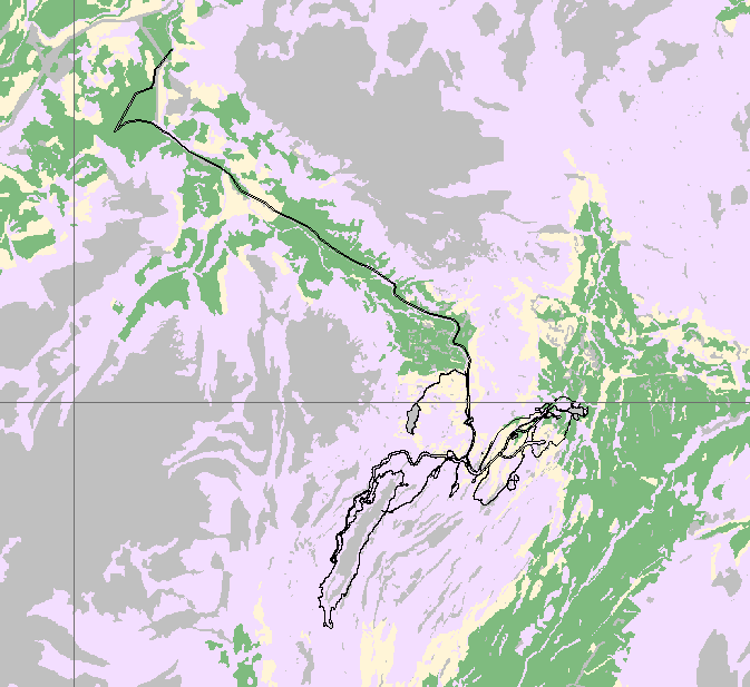
I'm new to ArcGIS and usually utilize it as an intermediate for transferring data into CAD. I've recently received several map files which classify the habitat suitability rating for several local species and am trying to obtain the areas for each classification within a new boundary. The layer is a TIFF with no attribute table so I'd be extremely grateful if anyone has any recommendations for a quick way to generate areas within ArcMap or how to export the layer as linework or polygons so the areas can be calculated in CAD. Thanks in advance!