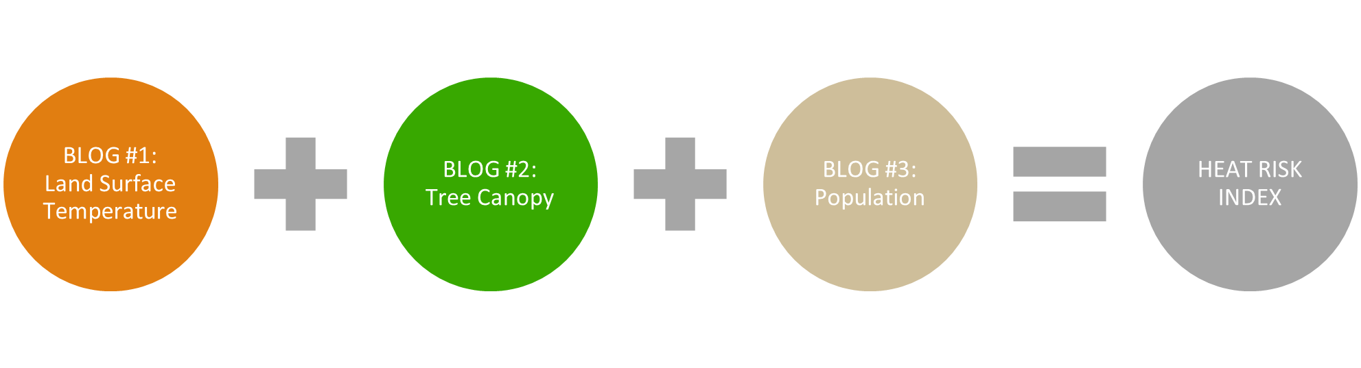
This three-blog series by @MarkGilbert demonstrates how to create climate resilience indices. The series walks you through the steps to use a global collection of ready-to-use geographic information to derive input variables needed to calculate a heat resilience index (HRI). The resulting intervention-focused map can be used by local communities to prioritize census tracts for tree planting as one mitigation against urban heat islands.
How to publish articles on arcgis blog
Přihlášení členové mohou přispívat, sledovat aktualizace a další. Nový zde? Zaregistrujte si bezplatný účet.
Find useful guides, FAQs, and documents to help you navigate and make the most of Esri Community.