When creating an imagery layer in our portal I select 'image collection' as layer configuration and continue to define the imagery. All my images are tif files, results from satellite imagery classifications, and have spatial reference 3035. In the following I will illustrate the property settings
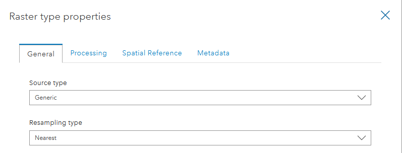
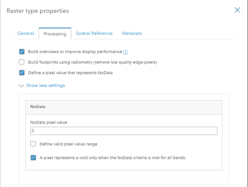
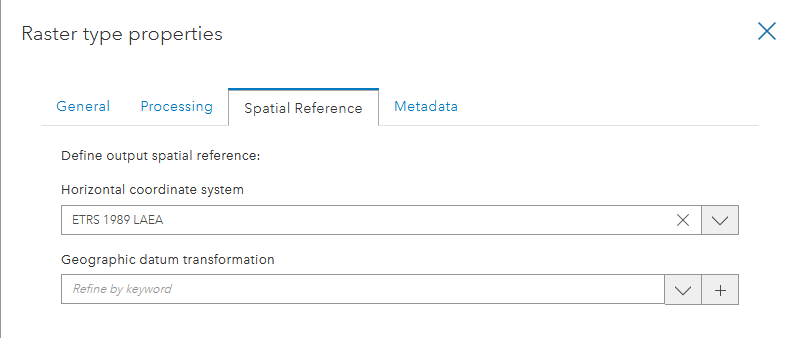
Changing the default horizontal coordinate system (WGS 1984 Web Mercator (auxiliary sphere)) to ETRS 1989 LAEA has as consequence that the imagery layer is created, but will not visualize in one of the portal viewers, or in ArcGIS Pro.
It will also not show any error when loading the layer, indicating something is wrong with it.
If I keep the default horizontal coordinate system, the layer is created and shows right from the start with a thumbnail,
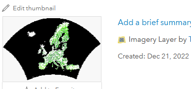
and shows in ArcGIS Pro
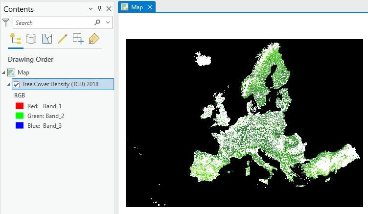
but will of course be in WGS 1984 Web Mercator (auxiliary sphere) and has to be reprojected on the fly.
Can one of you explain to me why I cannot keep the imagery layer at the original coordinate system?
The property settings for spatial reference do only point at the output layer, and since I do not want to have any other coordinate system applied on my data, I set the output coordinate system to the input coordinate system. Since, I do not change anything , I would a) not know why I should select a datum transformation, and b) not know what transformation to choose.
