Hi,
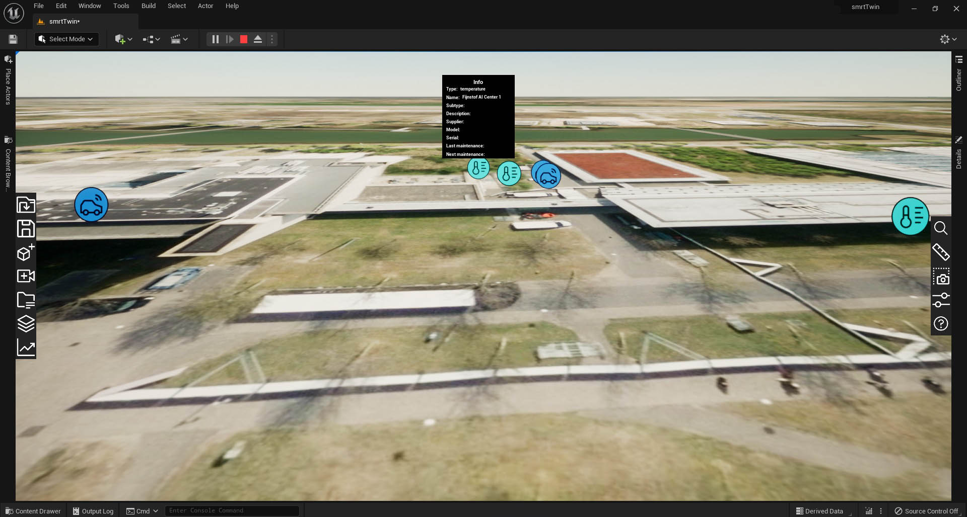
We are building a 2D platform where we connected our 2d platform to Unreal using MQTT so we can send locations of the IoT icons and also data over to Unreal. Because it is all geolocated we decided to use ArcGIS for this. If we disable default elevation everything looks great.
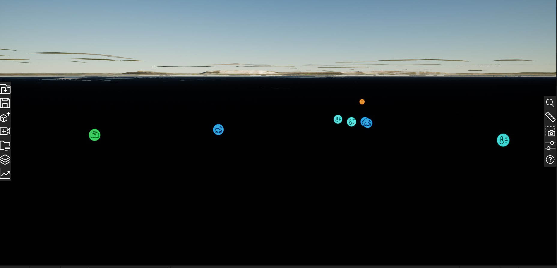
Once we enable default elevation we get this. Is there a way to calculate the height between the 2 settings? Or how to approach this?
Thanks.

