I have two custom grids, one for PLSS Townships and the other for PLSS Ranges. When I add them to a layout and the map in the map frame is clipped to the boundary of a shape, the labels are displayed around the boundary of that clip shape.
When I use a built-in grid, like a UTM grid, there is an option to not use the map clip shape as the grid boundary, but there is no such option in the element properties for the custom grids.
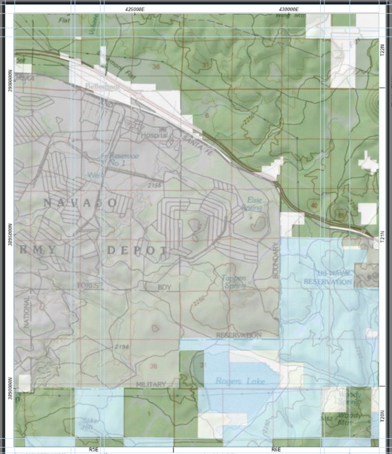
This is what the layout looks like when the map is not clipped (UTM grid at top and left, Township grid at right, Range grid at bottom):
This is what the layout looks like when the map is clipped (UTM grid at top and left, Range grid all around the shape, no Township grid):
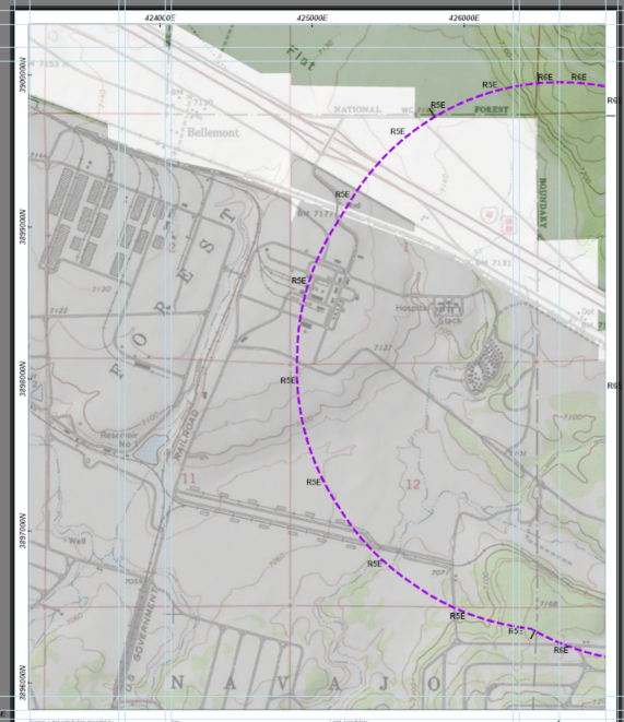
Is there any way to have the custom grids use the Map Frame rather than the clip shape?

