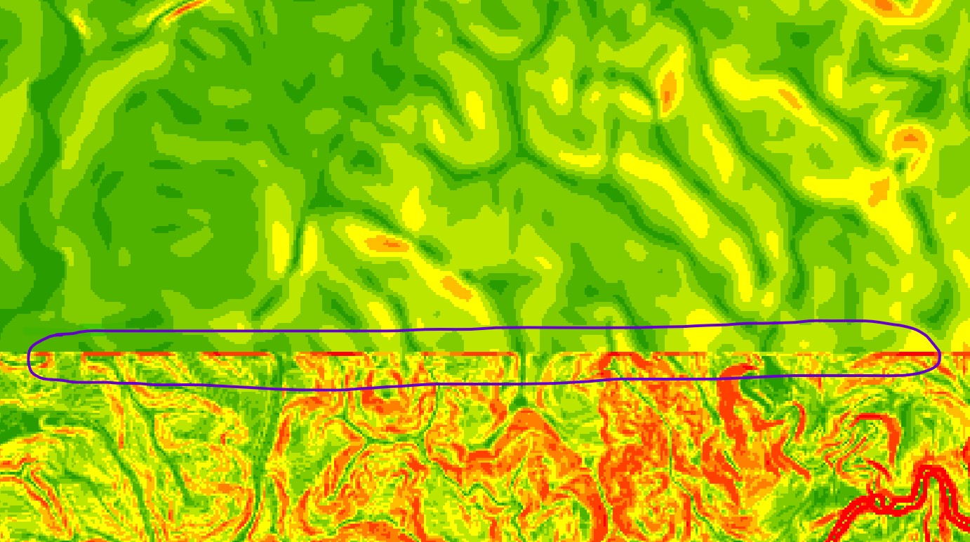
I have 2 source DEM raster; iFSAR and LiDAR. The LiDAR is overlay onto the iFSAR. I mosaic these two file using 'Mosaic to a new raster tool'. The output for mosaicked DEM looks normal. But when run Slope tool, there is sudden fluctuate at boundary between two file (see attachment). How to encounter this issue?
Disclaimer: I have resample both file individually to 5m cellsize beforehand