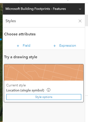
I added the Microsoft Building Footprints - Features feature layer to my map in AGOL, which is a polygon feature layer. I know I can add an Arcade expression to get the square footage of a feature via AreaGeodetic($feature,'squarefeet'). However, it seems that in AGOL Map Viewer, I cannot configure a style on such so I can color the polygons based on numeric classes/ranges of square footage. Is this not possible?