Hi,
Problem:
I've noticed that several times when i use the CAD to Geodatabase tool and get a multipatch feature it works quite well, utill i use the "Multipatch footprint" tool to create a 2D version of said multipatch feature.
What happens is that the tool sometimes create squares (extent areas?) around certain features, normally when they are really thin (See figure):
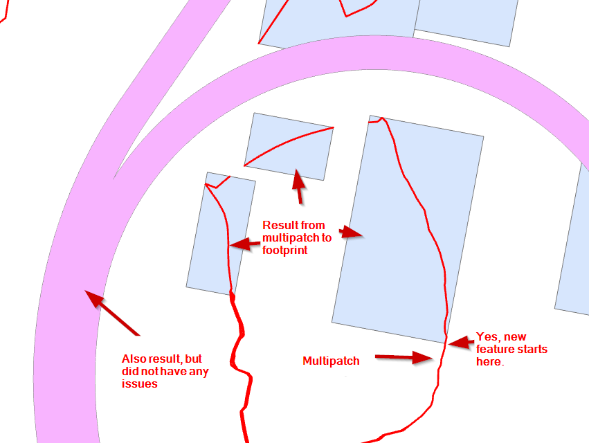
in cad file:
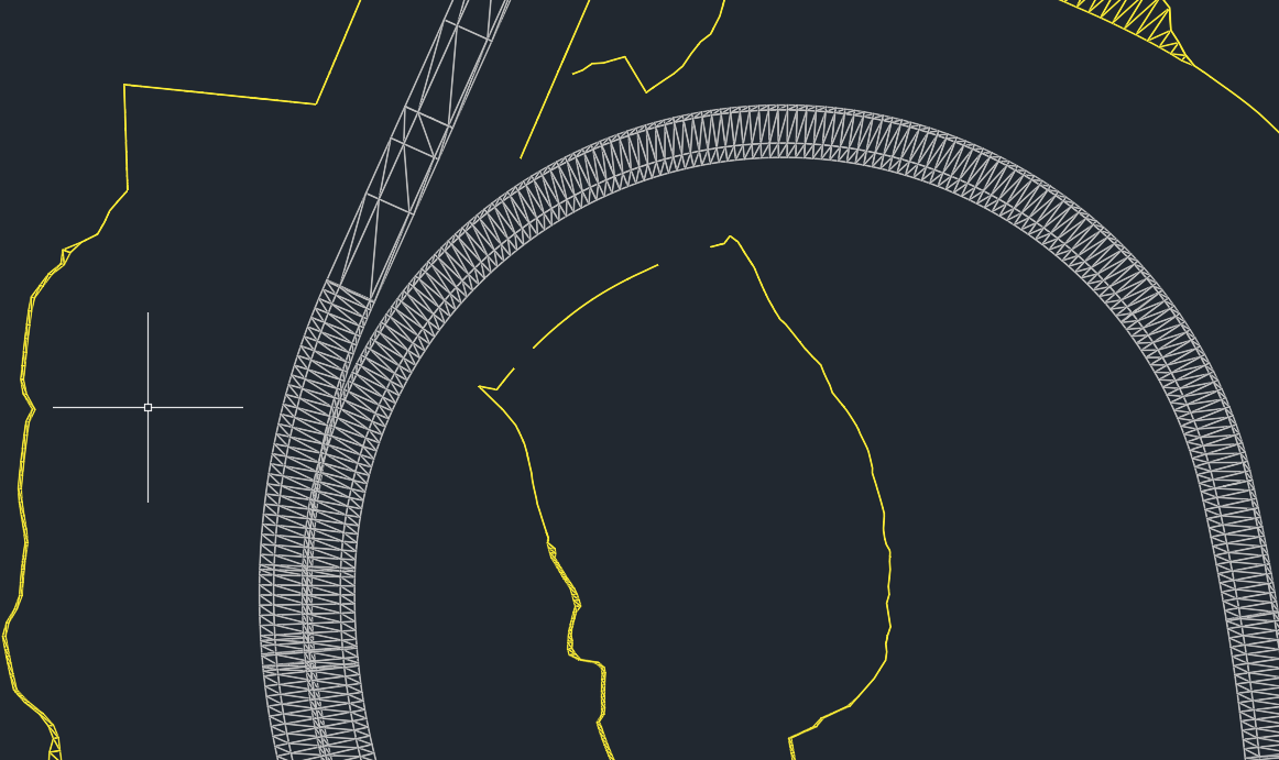
Possible Culprit:
It seems like the culprit is small/ vertical (?) poly-faces that bugs up in the tool. I have no other ideas.
Solution:
The best solution would be to remove all multipatch-features or poly-faces smaller or thinner that some critical value. However, i do not know of any tool, method of doing this, does anyone have an idea?
I am also open for arcpy-solutions.
Another solution is of-course to remove all square features later by analyzing either squareness or Areal to border ratio. However, i hope there is a somewhat better method.
Another question:
Is there any word of when we can get the possibility to write and read multipatch-geometry in arcpy? or any help-files on this topic?
