Hello Community,
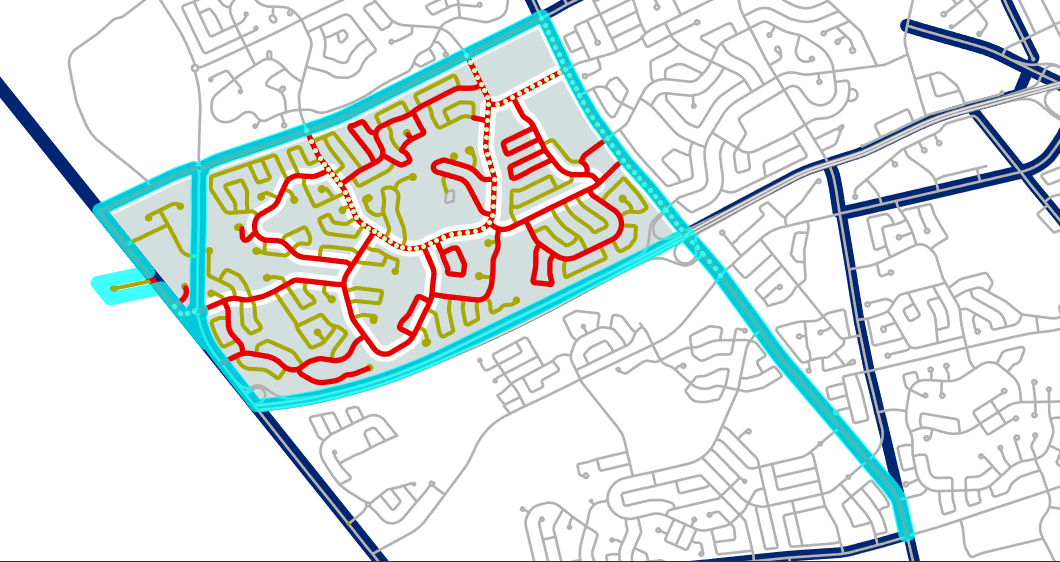
I have a Map Series where the features being indexed have 'dangly bits' that effect the center of the geometry:
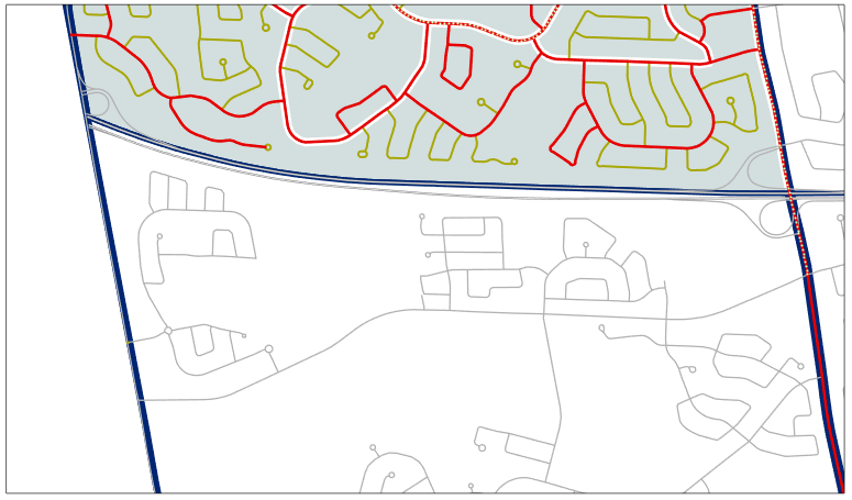
After applying scale and rotation fields, it maps like this:
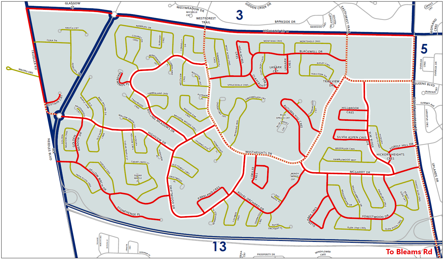
While I want it to end up like this (manually placed) outcome:
So, I'm trying to learn exactly how the optional 'Spatial Reference' field applies to my Map Series... created a field called SPATIAL_REF (text, 600) and populated via Calculate Central Meridian And Parallels (Cartography). My assumption was, if I modify these strings, I could adjust the placement of my extents. Specifically, these portions:
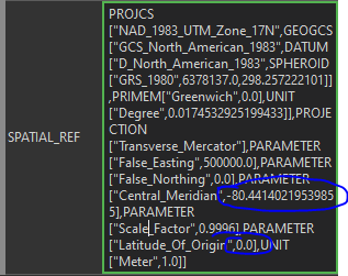
Upon doing so, the map frame updates - however, once I save my edits and refresh the Map Series, it reverts to the original extent. What's the point of this option if it doesn't modify the extent the way Scale and Rotation can? Or am I simply misunderstanding the theory behind it? What other options could work for my scenario?
Much thanks in advance,
Justin Thibert


