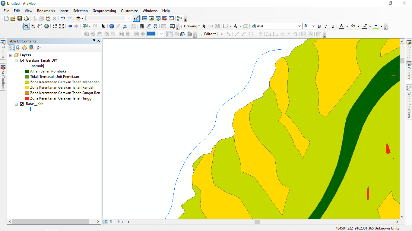
Hello. So i have two shapefile, one is a landslide shapefile and the other is the area region. But this landslide shapefile is not as same as the geometric of the area region. Can you guys tell me how to fix it automatically without using edit vertices?? Pls. The colorful one is the landslide area, and the green line is the area region. I want to fullfill the landslide area into the region.