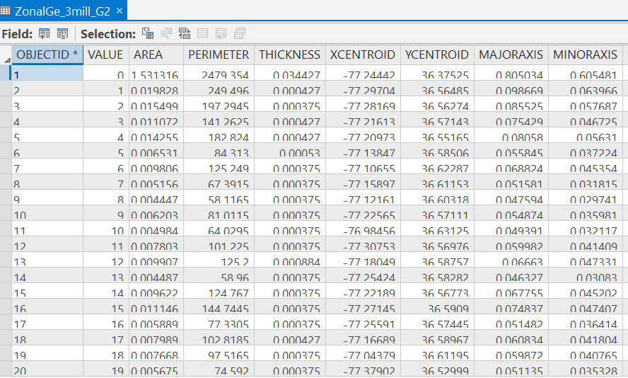
Hello everyone, how do you calculate the area of a raster dataset with 0.00025-degree cell size when you don't plan to re-project it to a projection with a unit in meter? I thought about using zonal geometry as table, after running, it gave me this: I did not know what's the unit of the area column. Did Arc just simply square the cell size of 0.00025 so that each pixel became 6.3*10^-8? Then that seemed to be ridiculous to me...I am confused, please help! (notes: I am not allowed to reproject this dataset so that it will not be distorted; and 0.00025 degrees is about 30 meters).