Esri R&D Center, New Delhi, India and ArcGIS Maritime's Madhu Hosuru have been conducting research into the world of Maritime Machine Learning and Artificial Intelligence.
Aerial and satellite imagery works great with GeoAI. Madhu and the Team of SMEs were able apply the AI/ ML principles underwater!

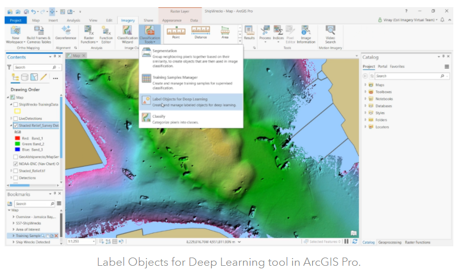
Find out how they did it!
Need another deep dive into Deep Learning? Head over to this ArcGIS Blog from Esri India

