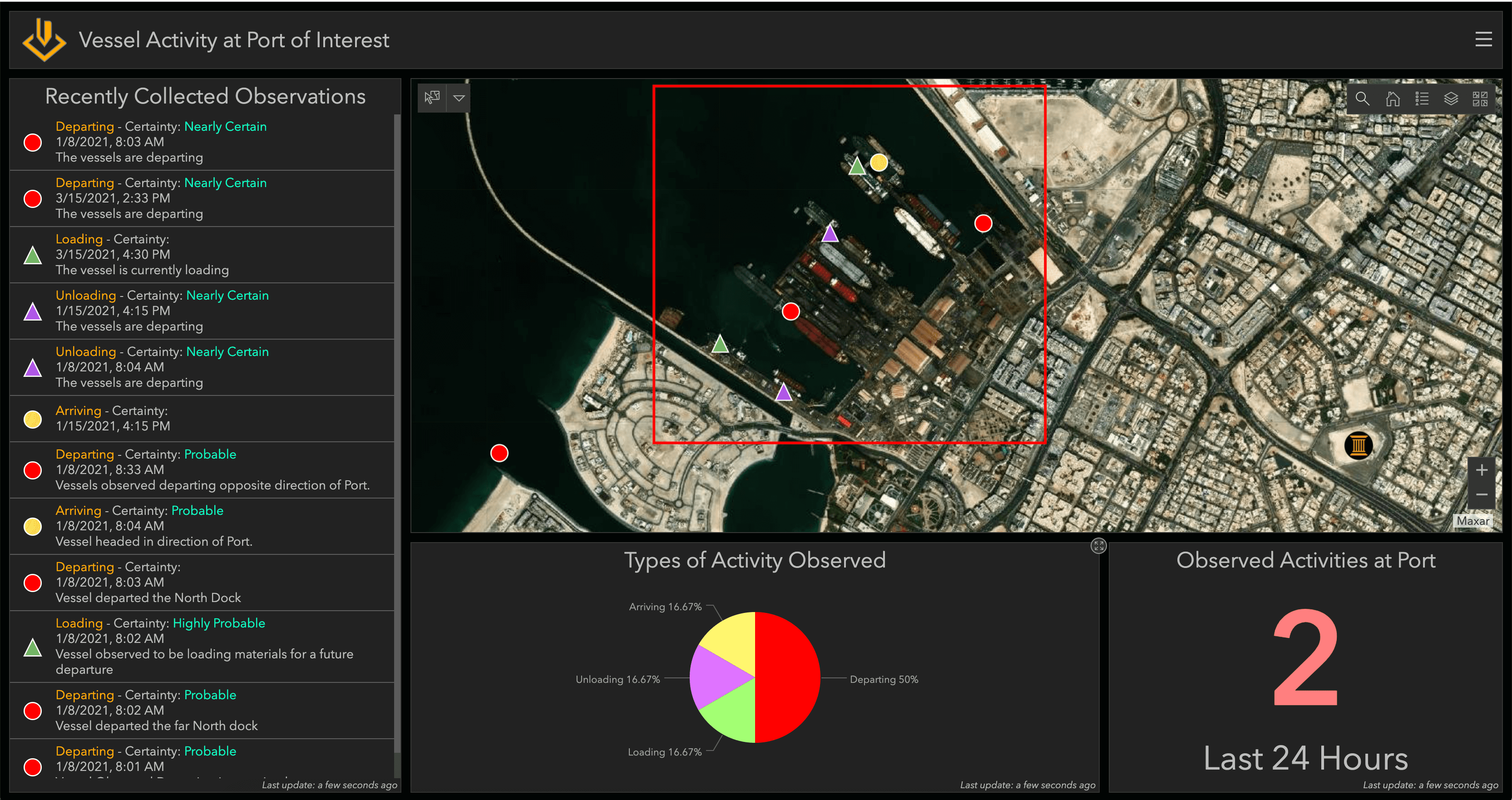
ArcGIS Excalibur has many capabilities for exploiting imagery to identify key activity. In Excalibur, these observation-based workflows are seamlessly integrated and easily accessible. So how do you start the process? One of the ways you can start is by opening an imagery project, a dynamic way to organize resources to complete your image-based task.
Interested to learn more? Read this new post by Esri's Megha Kakaraparti to find out how imagery projects in ArcGIS Excalibur can help analysts identify key observations: https://www.esri.com/arcgis-blog/products/excalibur/imagery/use-arcgis-excalibur-for-imagery-exploitation-to-identify-key-imagery/
Přihlášení členové mohou přispívat, sledovat aktualizace a další. Nový zde? Zaregistrujte si bezplatný účet.
Find useful guides, FAQs, and documents to help you navigate and make the most of Esri Community.