I am attempting to create a flood depth raster so I can run the Flood Impact Analysis Solution (FIAS) toolset in my water district. I am following the Creating Flood Depth Rasters for Flood Impact Analysis guidance document, but am getting stuck on the addressing flat areas section. When I run the Arc Hydro Identify Flat Areas tool on the example DEM they provide, the tool completes successfully, but no rasters or layers are generated. I am using ArcGIS Pro 3.6.1.
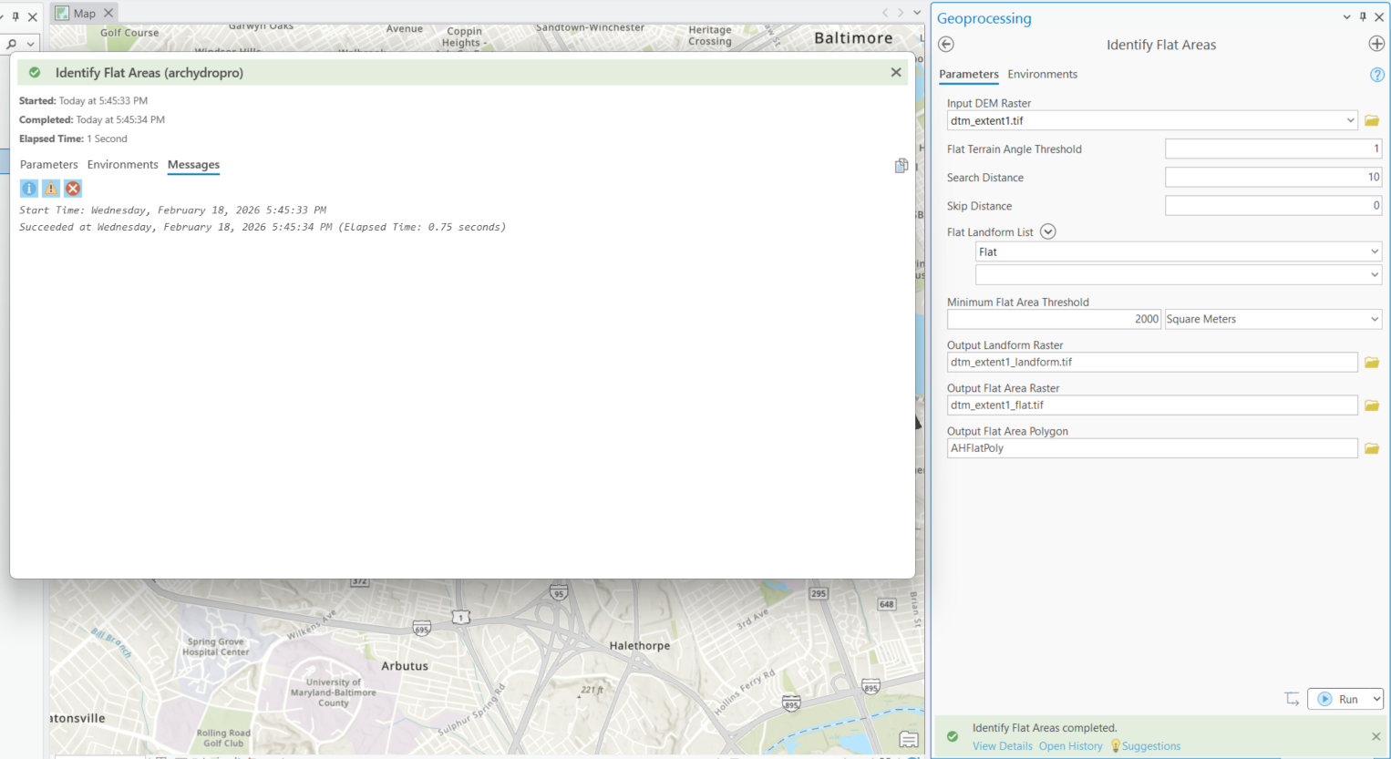
Identify Flat Areas
=====================
Tool Path
Input DEM Raster dtm_extent1.tif
Flat Terrain Angle Threshold 1
Search Distance 10
Skip Distance 0
Flat Landform List Flat
Minimum Flat Area Threshold 2000 SquareMeters
Output Landform Raster C:\LOCATION\ArcHydro\FIAS\Layers\dtm_extent1_landform.tif
Output Flat Area Raster C:\LOCATION\ArcHydro\FIAS\Layers\dtm_extent1_flat.tif
Output Flat Area Polygon C:\LOCATION\ArcHydro\FIAS\FIAS.gdb\Layers\AHFlatPoly
=====================
Messages
Start Time: Wednesday, February 18, 2026 5:45:33 PM
Succeeded at Wednesday, February 18, 2026 5:45:34 PM (Elapsed Time: 0.75 seconds)


