Connect with Esri at GulfCon
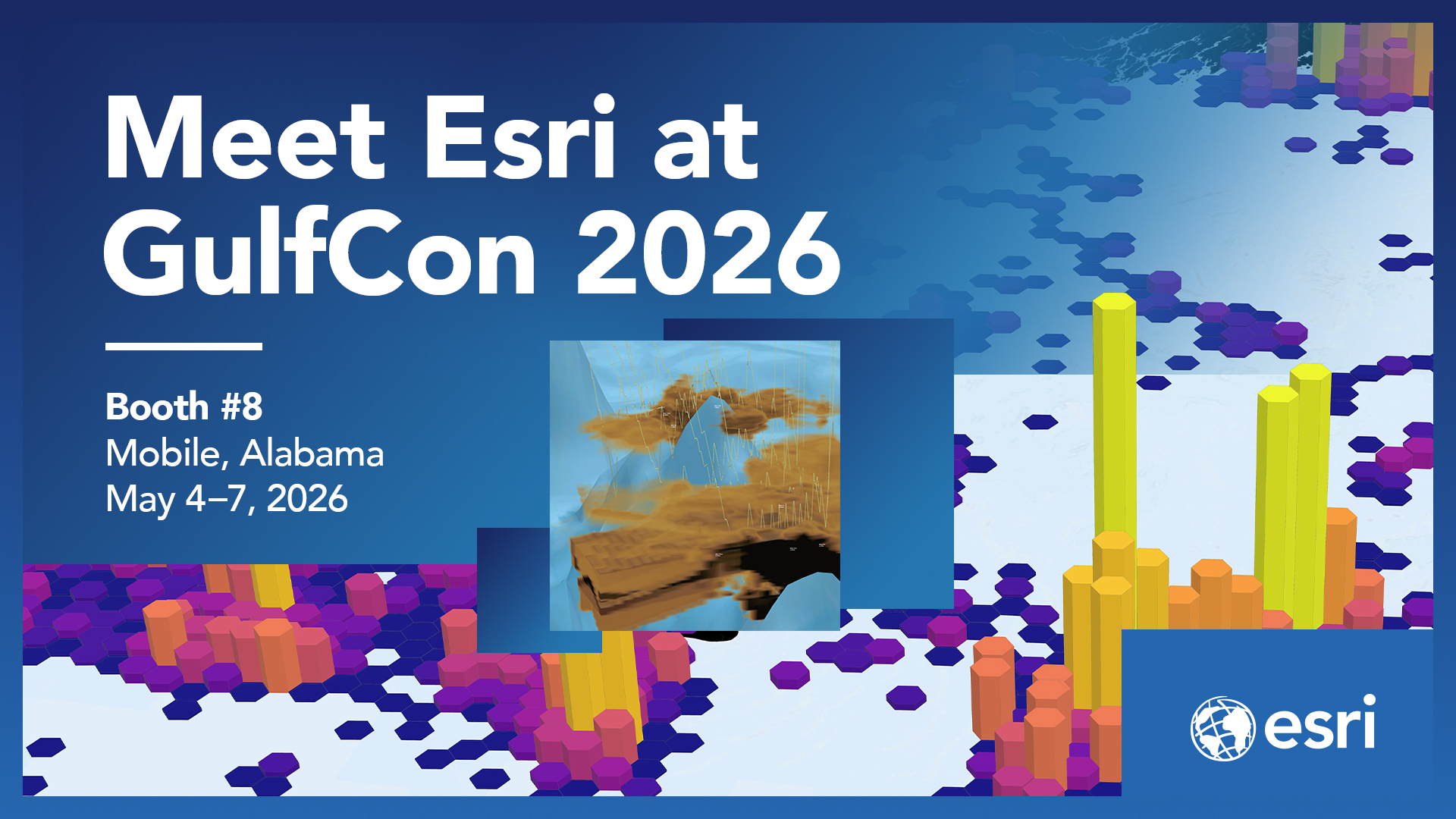
The Esri Ocean Science team will be at this year’s GulfCon in Mobile, Alabama from May 4-7, 2026. Whether you're a longtime user of our platform or just starting to explore what GIS can do for your organization, we'd love to connect!
Stop by booth no. 8
Meet the team, grab some Esri swag, ask questions or watch a live demo and discover how Esri can help you:
- Explore the ocean spatially
- Understand ocean processes and change
- Anticipate ocean conditions
- Support marine spatial planning
- Share ocean science with clarity and impact
At our booth, you'll have direct access to Esri experts who work with GIS every day. They’re problem solvers who can speak to your specific use case, and goals. Have a question you've been sitting on? Bring it. We love a good challenge.
Discover all Esri activities and add them to your schedule!
Join Keith VanGraafeiland, Ocean Science Community Lead at Esri for an engaging session focused on the latest advancements in ArcGIS, tailored specifically for users of GOMOD. This session will demonstrate practical examples of leveraging ArcGIS's capabilities to streamline data integration, improve visualization, and enhance map accuracy.
Name: What’s New in ArcGIS: GOMOD Community Engagement and Mapping Workshop
Where: Room 203B
When: Monday, May 4, 2026
Time: 1:30pm – 5:00pm
Lastly, make sure to stop by this year’s Tools Café on May 6, and discover more presentations by the Esri team. Stop by, ask questions and learn how to use specific tools in real time.
Tool: ArcGIS Hub AI Assistant for Ocean Data
Presenter(s): @Keith-VanGraafeiland , Summerlyn Bingaman , Julia Bayer
Overview: This tool demonstrates the use of agentic AI to answer ocean and coastal geospatial questions built from the ArcGIS Hub AI Assistant.
---------------------------------
Tool(s): ArcGIS Maritime and Bathymetry S-100 Production Tools
Presenter(s): Jerad King
Overview: The ArcGIS Maritime and Bathymetry products include tools to support the production of various IHO S-100 data standards. The production of IHO S-111 Surface Current data will be the focus of this tool's cafe demonstration.
We hope to see you at this year’s Gulfcon!
Helpful Links:
Explore our GIS for Oceans hub which serves as a resource to help collate the wealth of ready to use ocean related GIS resources available to the community.
Join the Esri Ocean Community bi-monthly virtual meet-up - a dedicated hour for ocean-focused GIS professionals, enthusiasts, and community members to connect and collaborate.
Discover ArcGIS solutions for Ocean Science
