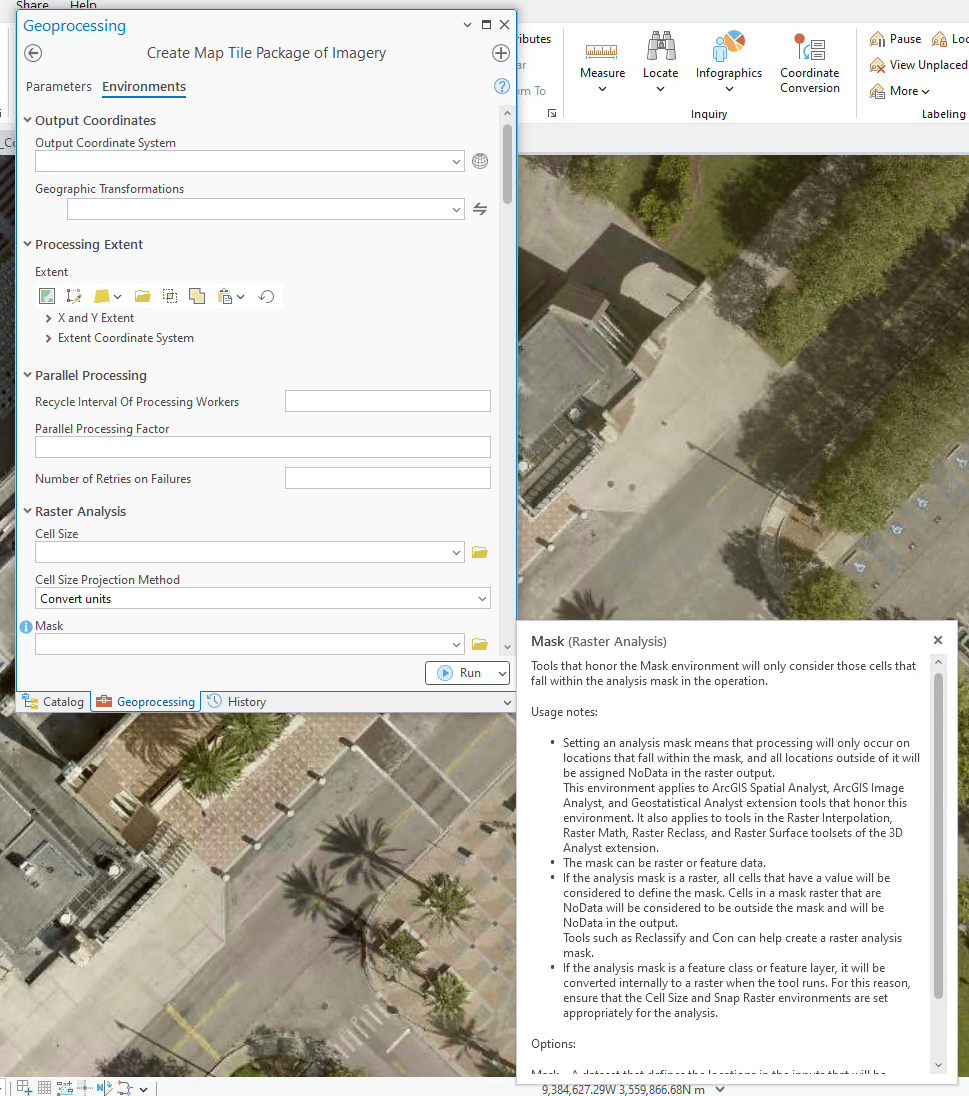
I am using ArcGIS Pro 3.4. I am wanting to create a map tile package of imagery where certain areas of the tile package would be masked out. For example, I have a Mosaic Dataset of a county. The source imagery is in tiles and the imagery in the mosaic dataset extends a bit outside of the county boundary. What I want to do is make a map tile package of the imagery where the imagery is masked by the county boundary. That way, any part of the imagery beyond the county boundary would be transparent. This is necessary so that the imagery won't interfere with other imagery outside of the county boundary.
I see that the geoprocessing tool Create Map Tile Package of Imagery has an Environment setting for Mask. You should be able to include a raster or a vector layer here for a mask. I tried using a polygon feature class of the county boundary for a mask. But when I created the map tile package of imagery, no areas of the imagery in the map tile package were masked out. Maybe there are other settings that have to be a certain way for the masking to work? Perhaps something to do with the Cell Size? I don't know. I appreciate any suggestions. Thanks!