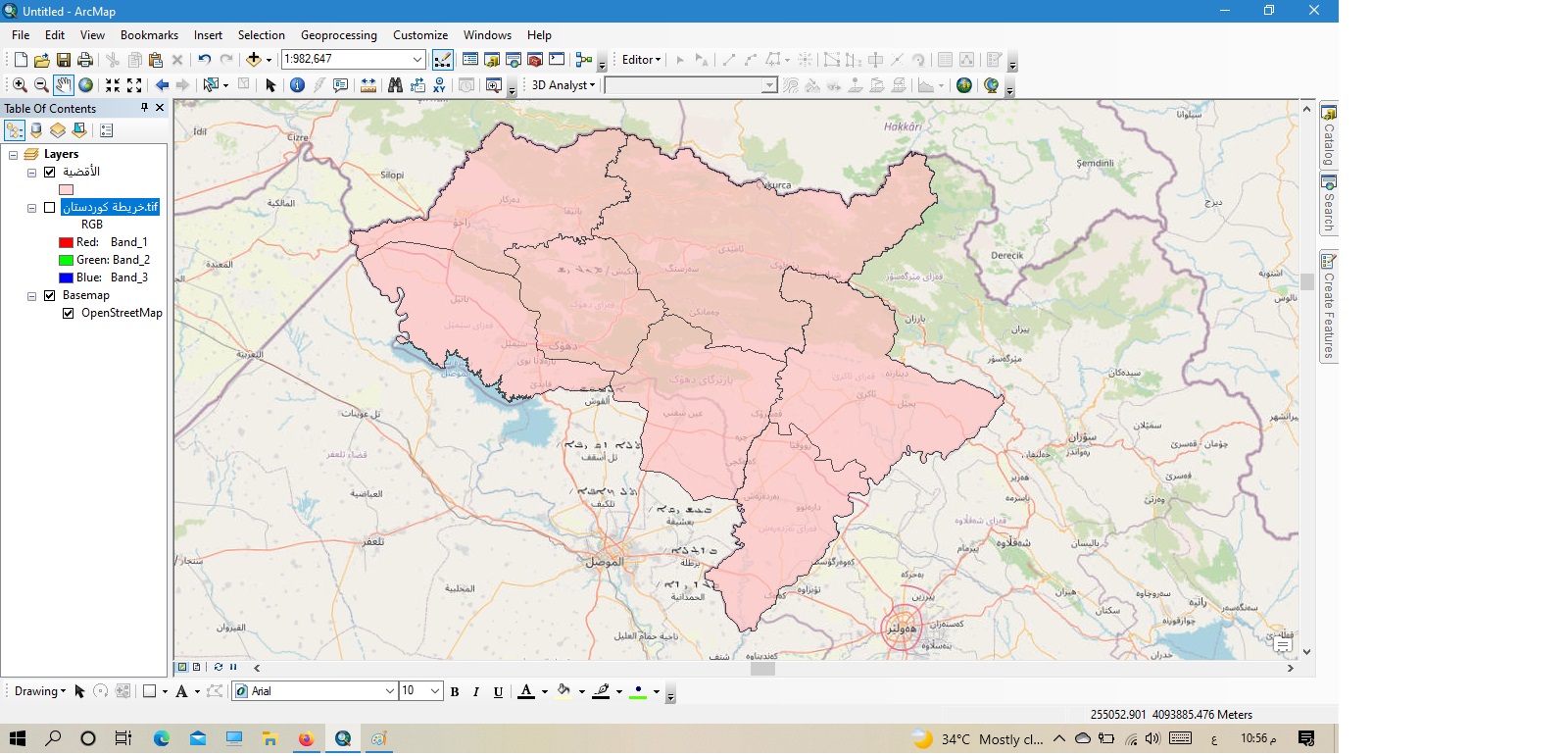
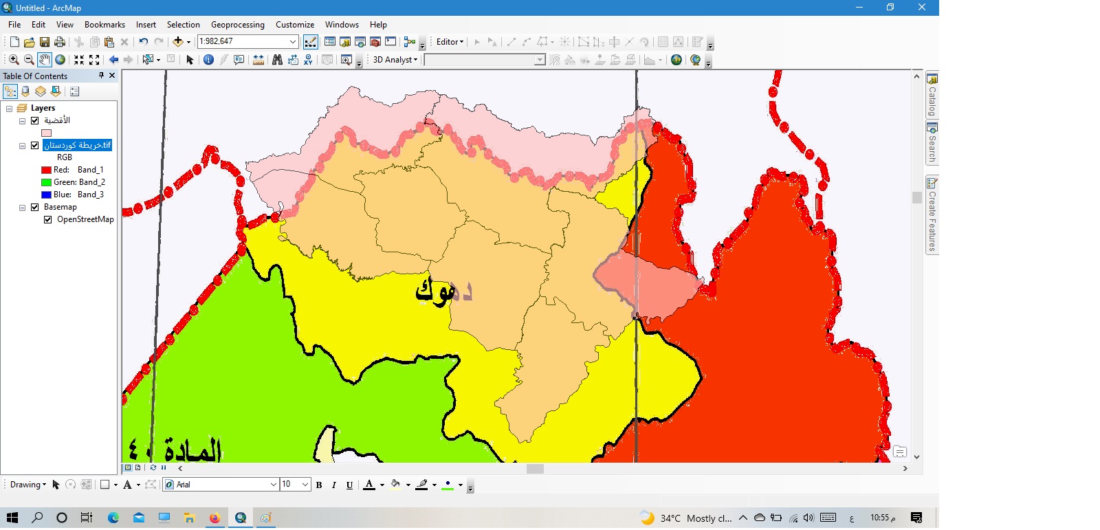
Greetings, the subject is inquiring about the subject of the map and the correctness of the drawing. I drew a map a few days ago and as it was shown in the first figure, and based on the program’s base maps service, and when I compared it to an old map of northern Iraq dating back to 1986, I noticed that there is a creep in the location and location of the drawn phenomena. Amending the maps annually because the earth under us crawls annually by a small number of millimeters to several centimeters, or does this issue have anything to do with and only the old map could have been drawn with another drawing site? Thank you very much if you explain the idea to us more. Thank you.

