Available here
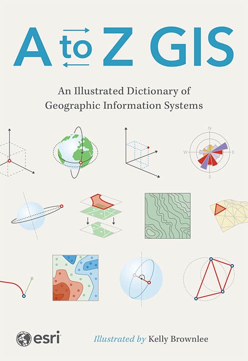
As GIS technology has evolved and grown, so has the language of this powerful tool. Now in its third edition, A to Z GIS: An Illustrated Dictionary of Geographic Information Systems includes more than 1,400 new terms and nearly 400 high-quality illustrations. This popular comprehensive dictionary is essential for managers, programmers, users, writers, editors, and students discovering the interdisciplinary nature of GIS.
Written, developed, and reviewed by more than 200 subject matter experts, the fully cross-referenced dictionary is packed with nearly 3,000 terms. With clear definitions and helpful illustrations, A to Z GIS: An Illustrated Dictionary of Geographic Information Systems is a crucial resource for anyone in GIS.
Learn more about this book
