Five new activities for physical geography or Earth science students that use either augmented reality (AR) or virtual reality (VR) and GIS maps.
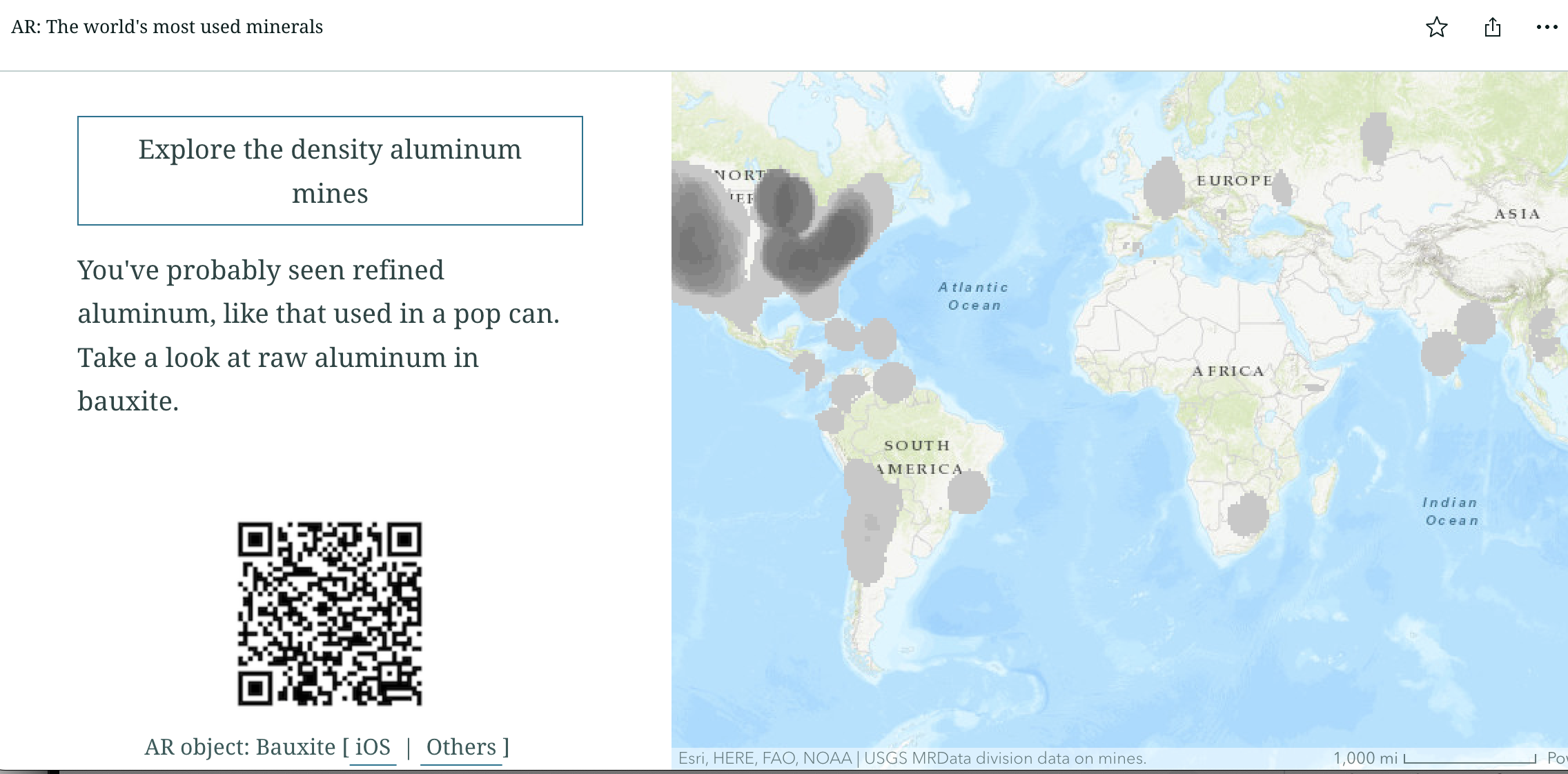
Two AR based activities include:
These activities include QR codes that can be used by students to load objects with an iPhone camera onto the real world. The same objects can be loaded by other devices onto a webpage for rotation, zooming, and examining. Interactive formative student assessments are available on some activities.
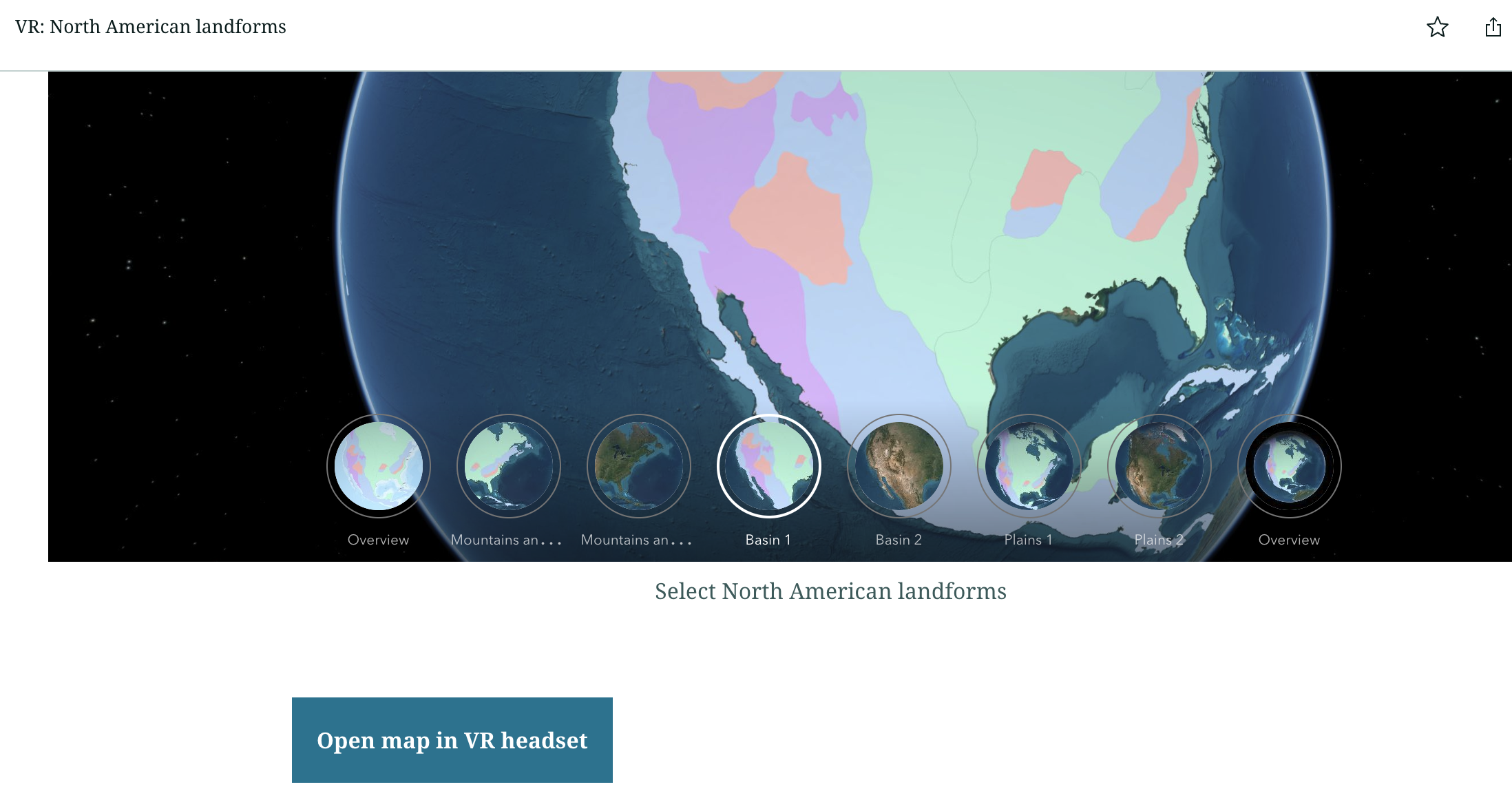
Three VR-based activities include:
These activities include 3D models and ArcGIS 360VR experiences (maps) that can be loaded into VR headsets like Meta Quest or HTC Vive. Some activities also have 360° images and interactive formative assessments.
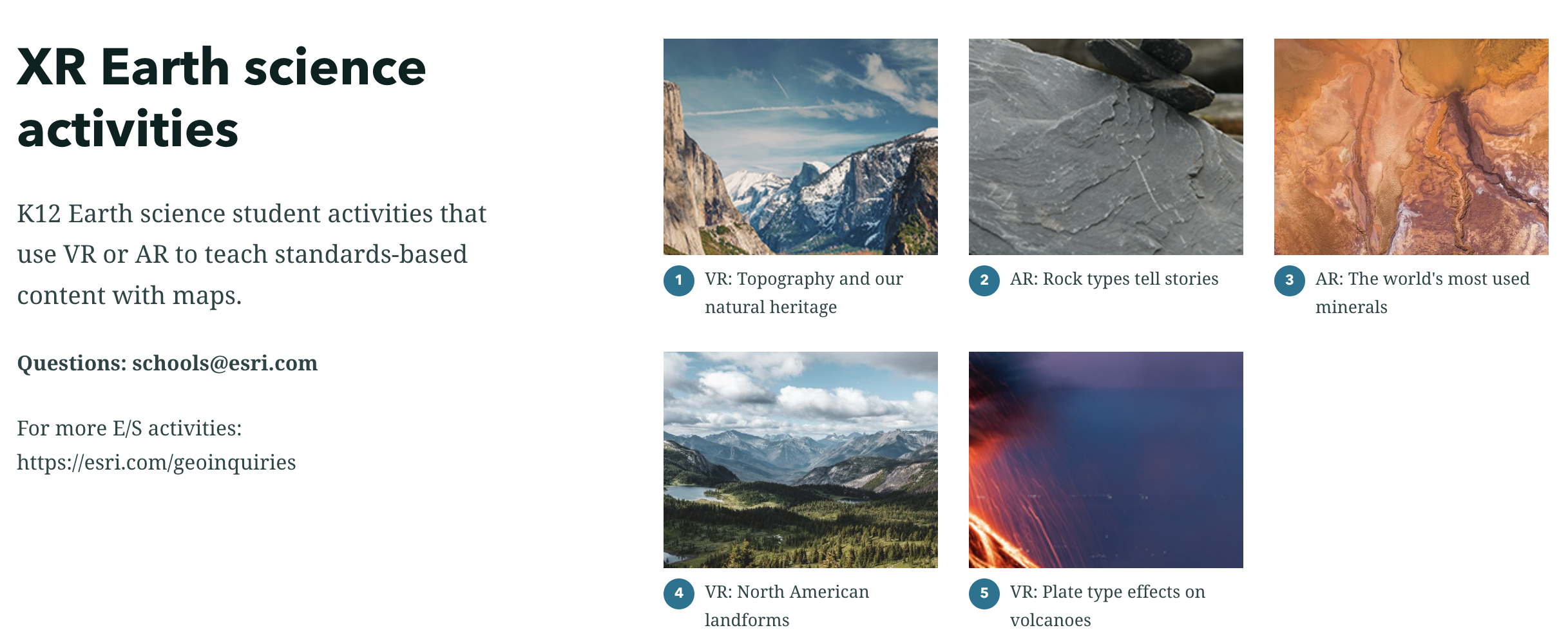
See the collection at: https://arcg.is/11mfGe0
Feedback welcome below or send to: tbaker at esri.com.
