Introduction
Hello,
I want to replicate a sister agency's story map page.
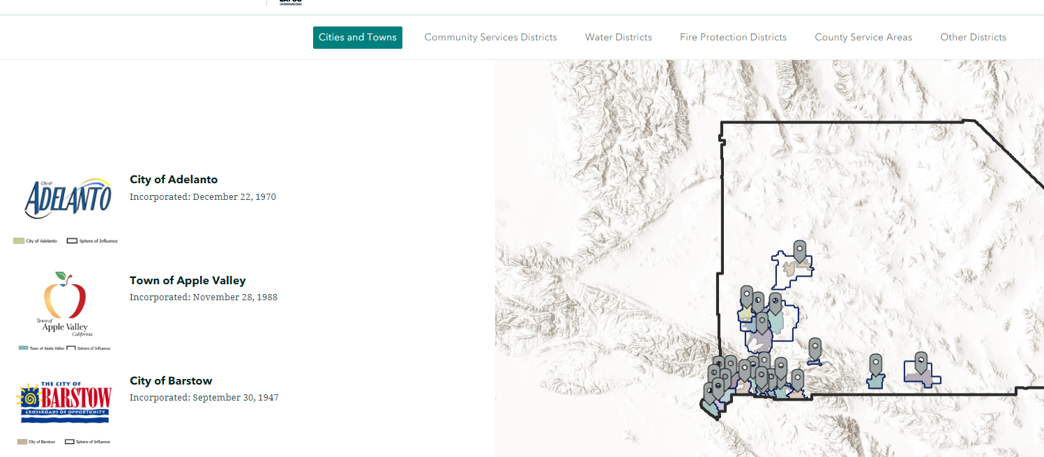
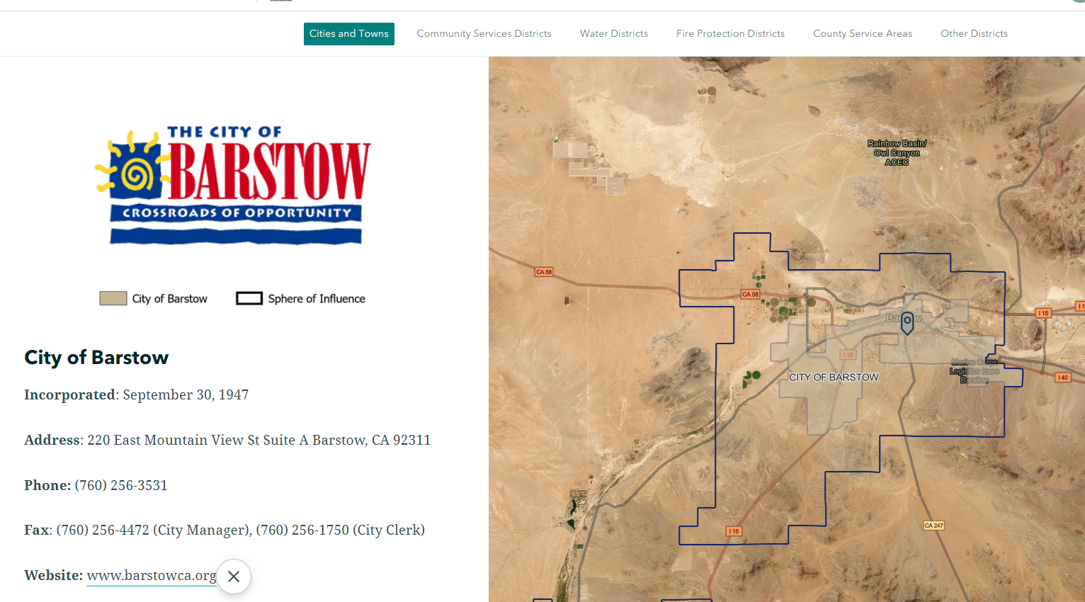
I love their gis portal, it is user friendly and visually appealing. (Second View).
Zoomed out
Zoom in after clicking side panel
Initially, I had intended to create an experience app with all my data, but it is not the best option for visually appealing/user friendly purposes for non-gis type users; we have a lot of data that would be displayed upfront- 18 special district categories.
Issues
Their outline appears differently. I am not seeing the option to create sub categories as my sister agency does here.
They have main categories for each district at the top of the page and then in the middle are related subcategories.
The option I only see is placing the categories in the middle of the page, I am unable to get the categories to the top of the page with subcategories in the middle as this agency has done.
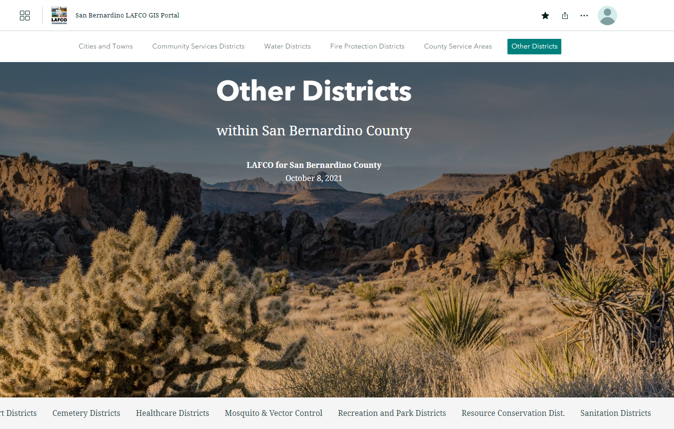
Is this a custom design or am I not seeing the option to create sub categories?
Do I need to create a map for each category, how do I account for credit allotment for ArcGOL content publishing?
Post and Question Summary
1. I want to create sub categories so as to not have confusing overlaps of agencies with shared territory with the maps automatically open and easy to view for the end user. That would require 18 different maps to be published to Arc GIS Online.
2. Publishing 18 different maps and service credit issues- with regard to the previous section I want to publish 18 different web maps to house in my storymap as they have done similarly. It seems that this is a little bit too much. Will this require me to buy more service credits or is there something I am not aware of?
Thank you for taking time out of your day to review and assist with my post.


