I like how the road closure ArcGIS solutions has a view created and filters only current closures. I want to apply this to another project for my organization but I can't seem to figure out how the layer is allowing to filter only current closures.
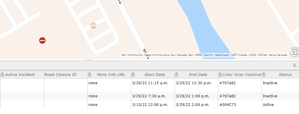
When an active and inactive feature is present the main feature layer has all the data present in the table and viewable by transparency:
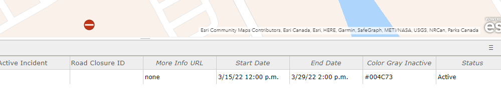
the public view layer has only the active present in the table and viewable, anything inactive disappears:
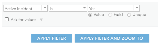
The public layer also has a filter for the active incident field but this field doesn't seem to update when adding new closures and when applied, nothing is visible.
There is custom transparency for both layers as well but they aren't different from one another and the inactive are gone from the public layer.
So does anyone have an answer as to how the public view is filtering for active data only?
Thank you

