I received this data from a company that collected the data. The original data were a .pcd file that I converted to an .las using CloudCompare, as I couldn't seem to find a way to get the .pcd into ArcGIS Pro.
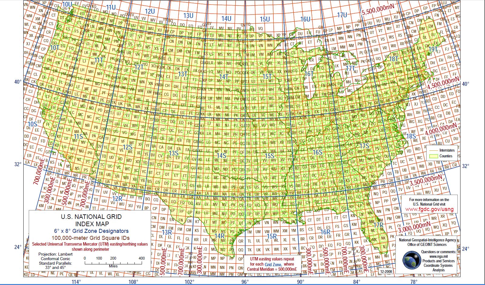
When I added the .las file to my Table of Contents in ArcGIS Pro I realized that it has an Unknown Coordinate System. I know that this file is in MGRS, which I had heretofore never worked with (it took me a while, but I eventually realized "mgrs" is in the file name).
I am attempting to define the projection so that the .las tile is placed in its spatially correct location. However, I see no way to choose "MGRS" as a projected coordinate system when I attempt to define the projection. I have also attempted to perform this action when making an las dataset, by making a PRJ for the file, but this does not seem to help. For reference, I tried following the directions found here: ArcGIS Help 10.1 in the section called "Spatial Reference". I feel like this gets me closer to solving the issue, but I see no way to edit the PRJ file that this process creates... so I am still stuck with an .lasd file that is based off of an undefined .las file. Anyone have a way to do this or a work around for defining a projection in MGRS for lidar data? Am I way off here? I've included a snip of my window to provide some info regarding the .las I am working with.
Thank you so much for your help.
-Chris