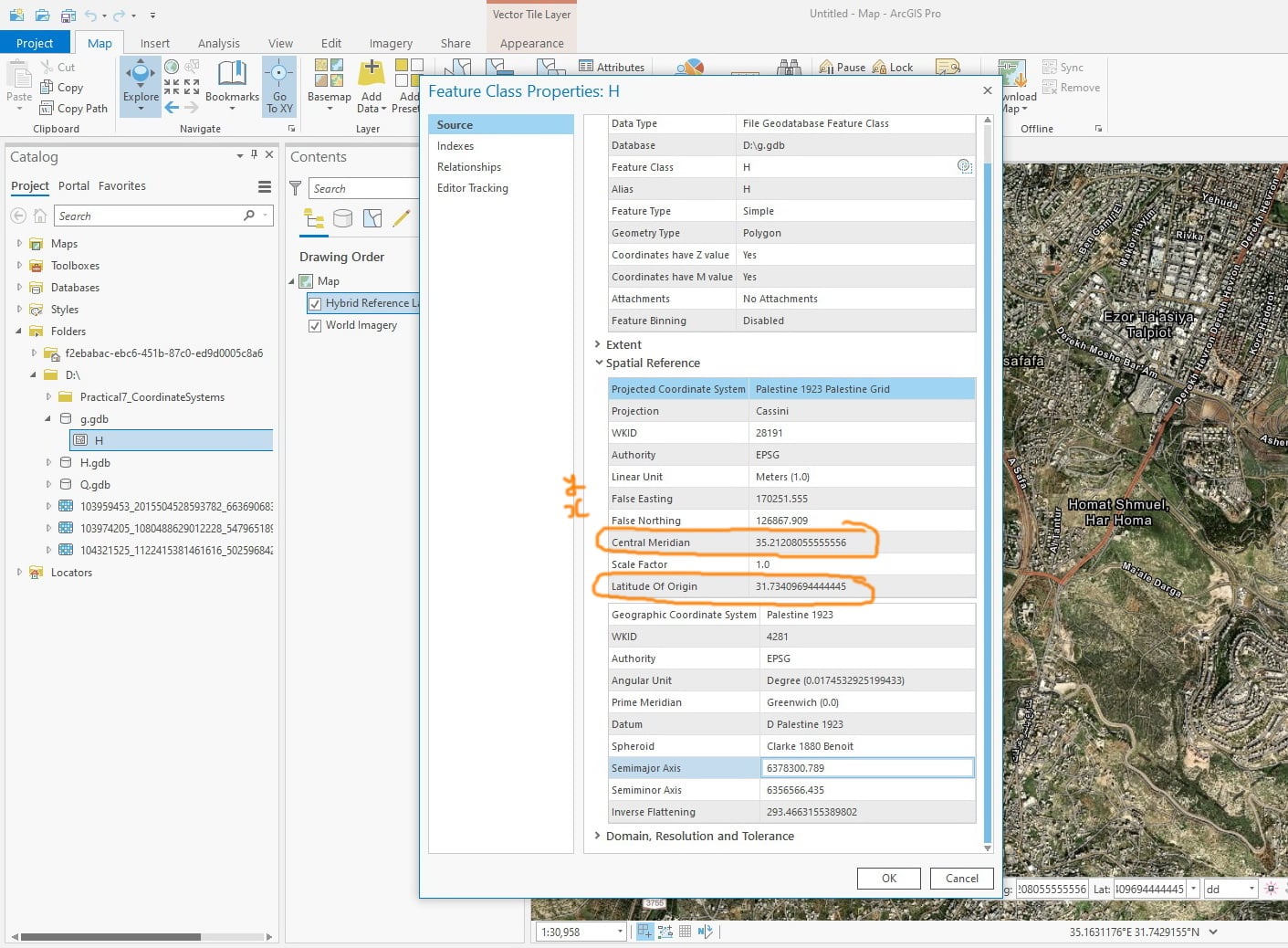
ArcGIS Pro 2.5: What is the scientific geodetic term for central meridian and latitude of origin point and its false easting and false northing?
For example, for the “Palestine 1923 Palestine Grid” coordinate system:
Long. (Central Meridian) = 35.21208055555556
Lat. (Latitude of Origin) = 31.73409694444445
X (False Easting) = 170251.555
Y (False Northing) = 126867.909
What is the scientific geodetic term for this point instead of saying all the time it is “central meridian and latitude of origin”