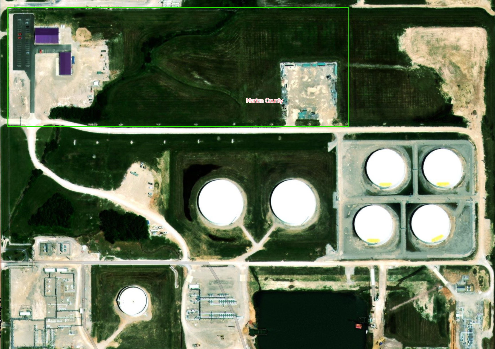
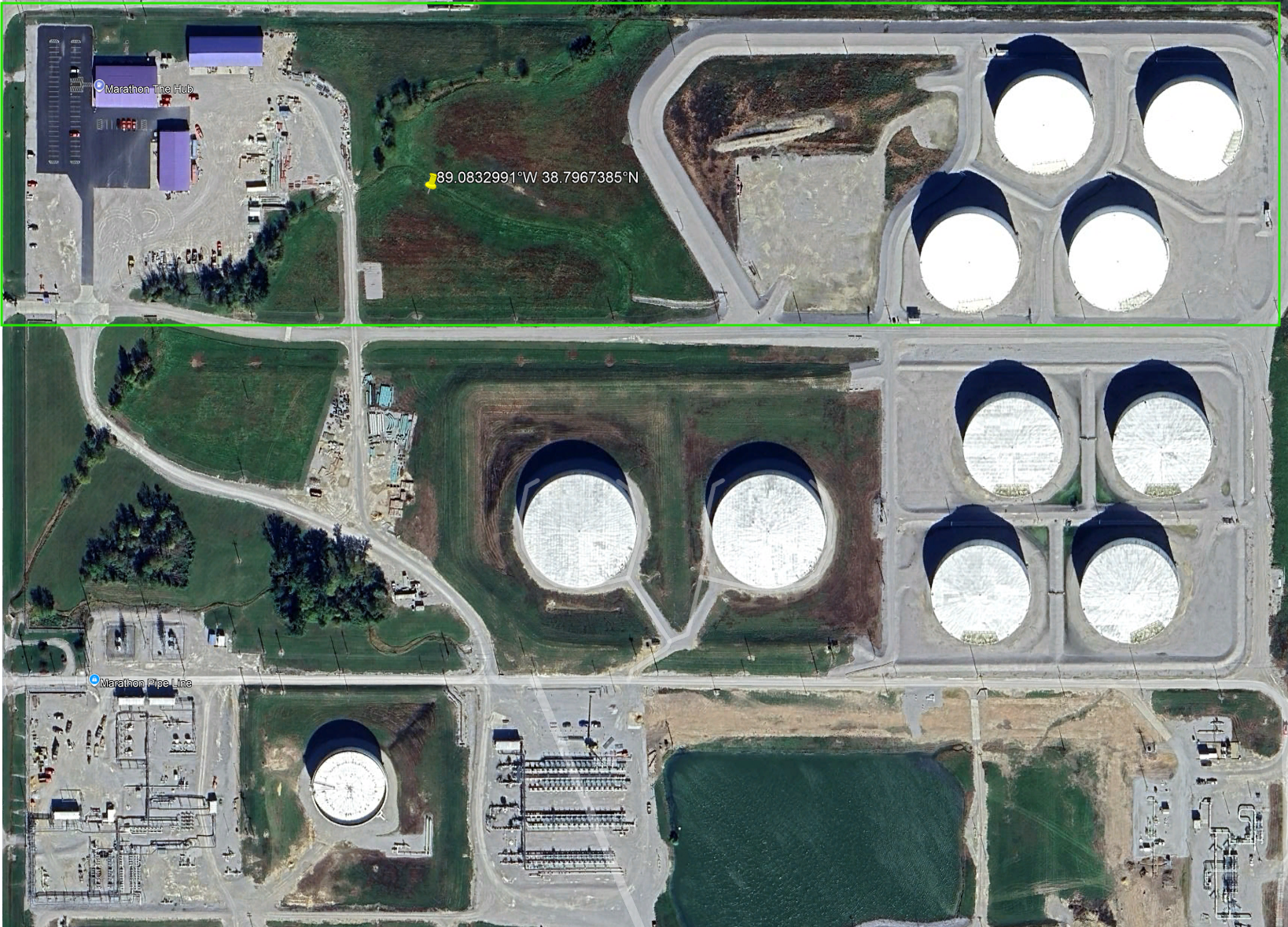
So it seems that the Aerial basemap imagery is not the most recent (maybe the temporal resolution varies from place to place). However, it should be as recent as possible, if the said place has more recent aerial imagery available elsewhere, that way the use doesn't have to go other resources such as Google Earth or Google Maps. In the example below, it can be seen that Google Earth has more recent imagery and the aerial basemap is outdated.
Google Earth
Basemap