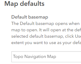
We have created a custom basemap using the Vector Tile Style Editor.
This tile layer was then added and saved as a web map and shared with our custom basemap gallery group.

Our AGO site is configured to use this as the default basemap in or organization.
As you can see, there are only 2 layers in this web map: the vector tile layer and hillshade:
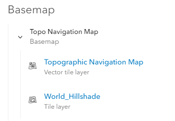
If I then 'Open in Map Viewer', the layers are as expected:
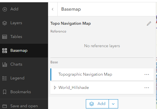
However, if I create a new/blank/empty Web Map, the custom basemap layers load as expected, but the World Topographic map is added as well. So now I have two overlapping basemaps and need to manually remove the world topo one.
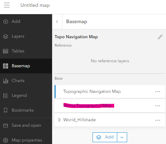
The same behavior is observed in ArcGIS Pro when creating a new map:
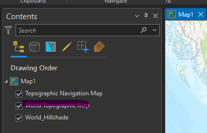
Why is the Esri basemap loading by default in addition to our custom basemap when our AGO site is configured to use the custom basemap as the default?