Hi all,
I have an issue with feature layers in ArcGIS Online. I am adding an ArcGIS server web service witch creates a feature layer and then i add the feature layer in a web map. There are 11 layers in the feature layer. When i try to open the webmap i get a message that a layer is not responding
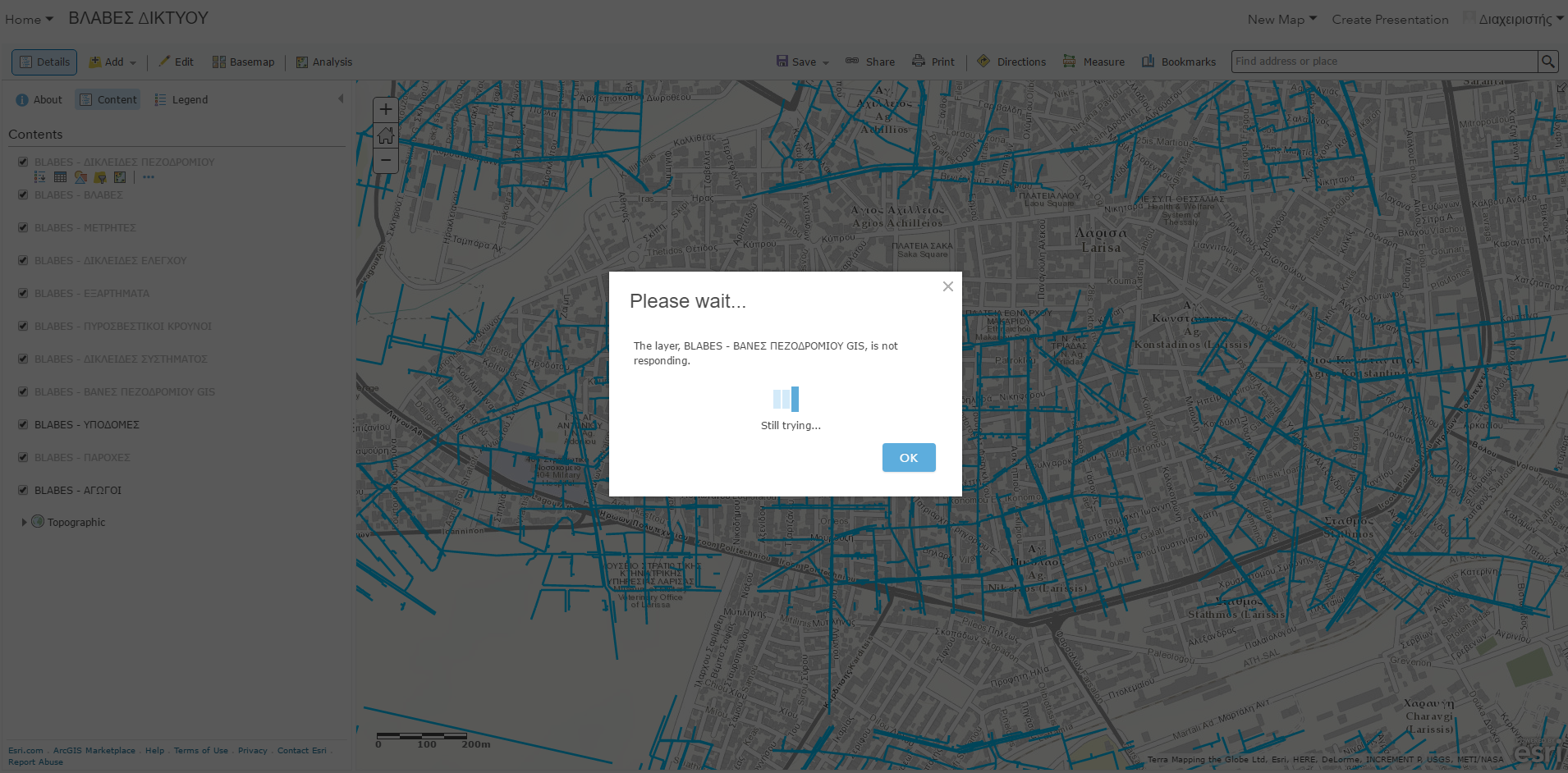
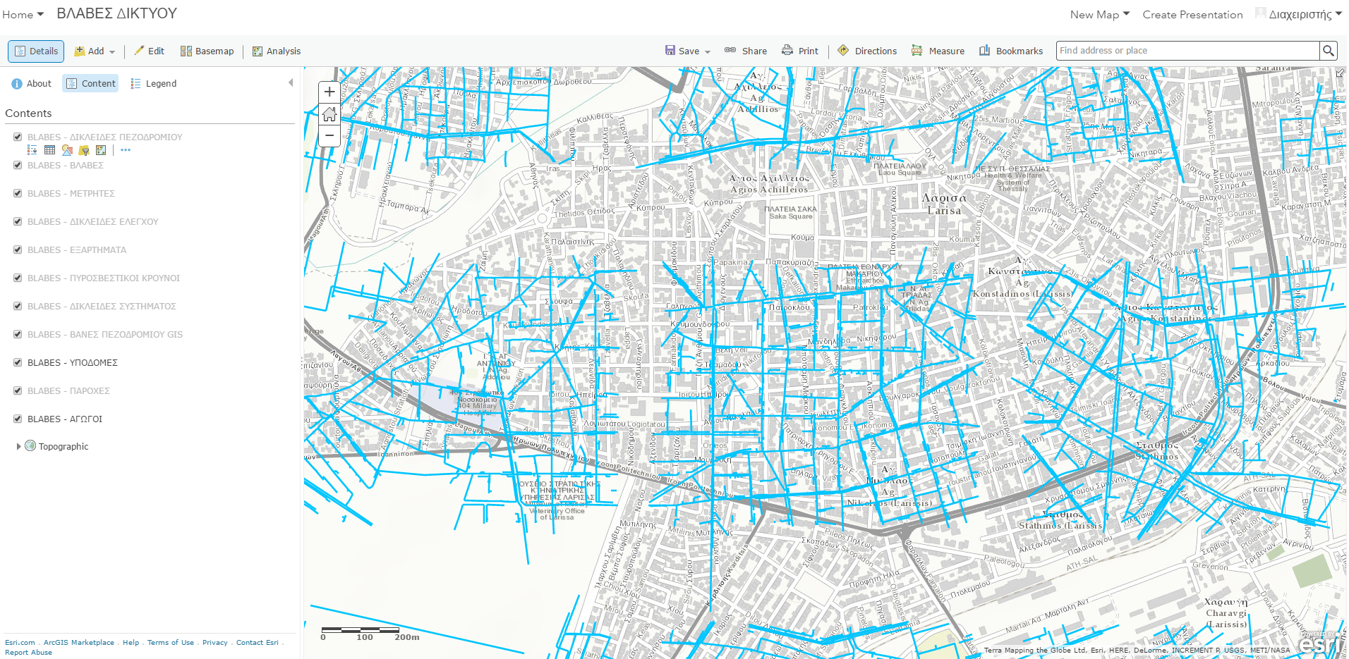
This is a water network map. As you can see the pipes are misalligned and some pipes are missing.
When i use the Collector app and download the map for offline use, they get alligned properly and there is nothing missing.
On another instance if i use a map image Layer everything shows up ok.
The spatial reference is Greek Grid (2100)
I am using ArcMap 10.4, Arcgis Server 10.4, the service details are as following (for one of the 11 layers)
Layer: ΔΙΚΛΕΙΔΕΣ ΠΕΖΟΔΡΟΜΙΟΥ (ID: 0)
View In: ArcGIS Online map viewer Name: ΔΙΚΛΕΙΔΕΣ ΠΕΖΟΔΡΟΜΙΟΥ
Display Field: FACILITYID
Type: Feature Layer
Geometry Type: esriGeometryPoint
Description: This dataset contains a collection of features that represent the water distribution network in a community.
Definition Expression: N/A
Copyright Text:
Default Visibility: true
MaxRecordCount: 5000
Supported Query Formats: JSON, AMF, geoJSON
Min Scale: 2000
Max Scale: 0
Supports Advanced Queries: true
Supports Statistics: true
Use Standardized Queries: true
Supports ValidateSQL: true
Supports Calculate: false
Extent:
Spatial Reference: 2100 (2100)
Drawing Info:Renderer:Simple Renderer:Symbol: Label: Description:Transparency: 0
Labeling Info:Label Placement: esriServerPointLabelPlacementAboveRight
Label Expression:
Use Coded Values: true
Symbol:Color: [0, 0, 0, 255]
Background Color: [233, 255, 190, 255]
Outline Color: [0, 0, 0, 255]
Vertical Alignment: bottom
Horizontal Alignment: left
Right to Left: false
Angle: 0
XOffset: 0
YOffset: 0
Size: 8
Font Family: Arial
Font Style: normal
Font Weight: normal
Font Decoration: none
Min. Scale: 500.0
Max. Scale: 0.0
Advanced Query Capabilities:Supports Statistics: true
Supports Pagination: true
Supports TrueCurve: false
HasZ: false
HasM: false
Has Attachments: false
HTML Popup Type: esriServerHTMLPopupTypeAsHTMLText
Type ID Field:
Fields:
Templates: - too many to display
Drawing Tool: esriFeatureEditToolPoint
Capabilities: Create,Query,Update,Sync,Delete,Uploads,EditingSync Can Return Changes: true
Is Data Versioned: true
Supports Rollback On Failure: false
Supports ApplyEdits With Global Ids: false
Supported Operations: Query Apply Edits Add Features Update Features Delete Features Validate SQL Generate Renderer Return Updates
Does anyone have a clue?
Thank you.

