Currently, online is loading the world map through API Key, and offline is generating terrain through .tpkx file and displaying it in Unity's Scene.
For road alignment,
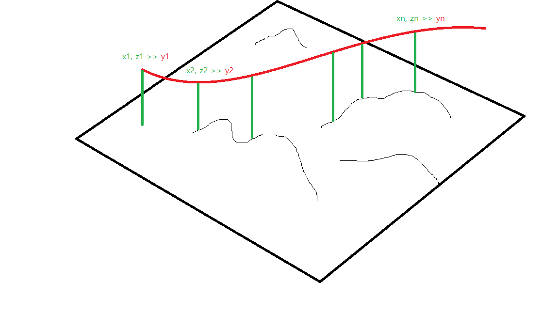
I want to draw a 2D plane line and project it on the terrain to return the elevation value of each point,
and I want to check the elevation value of the corresponding location with latitude/longitude or x, z coordinates on Unity.
RayCast has accuracy issues when the displayed map is wide, so I am considering it as an alternative.
Is there a function that can be used in ArcGIS Maps SDK for Unity?