Hi!
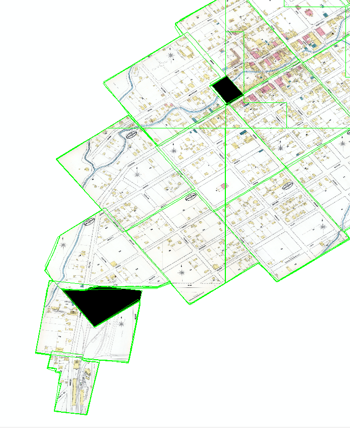
I have created a mosaic dataset from 17 rasters (the rasters are historical map sheets that I georeferenced). It has worked all right, EXCEPT that a couple of areas that overlap between rasters and were transparent are black. Those areas were transparent because I had to chop off some corners of the original map images, because those parts were either duplicated or unnecessary; I did this editing in the Mac app Preview before georeferencing them.
I already did "Build footprints," and that got rid of other, smaller black areas that existed right after I first added the rasters to the mosaic dataset. But there are still two black areas left. How can I get rid of them? Why are they black instead of transparent, which is how they were before I added the rasters to the mosaic dataset?
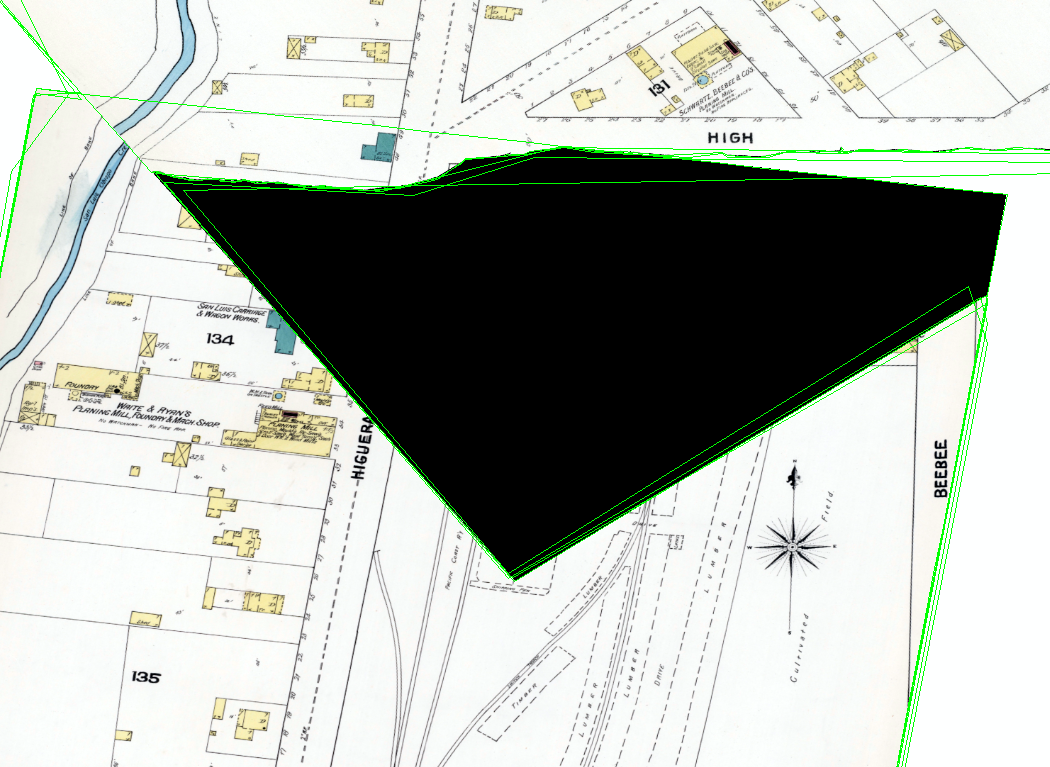
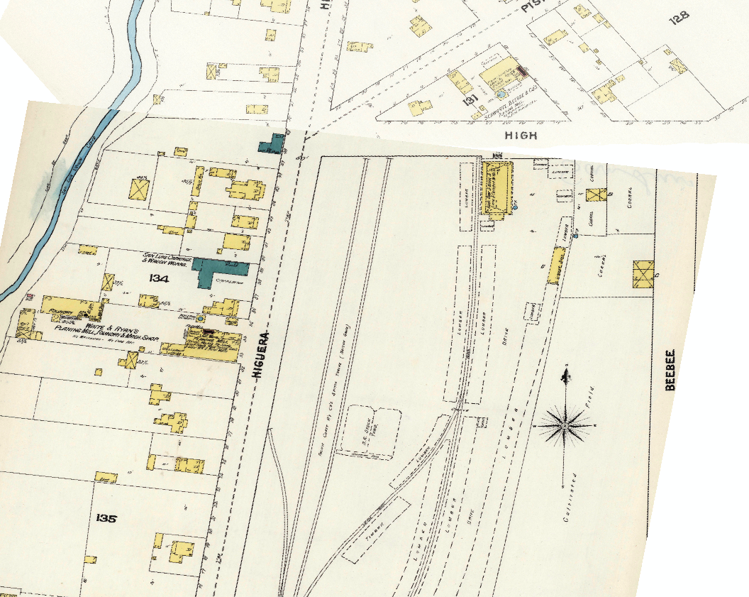
The above part should look like this instead: (Note: The black area above was an empty corner of the upper map sheet that I deleted using the Preview app, so that when I eventually made the mosaic dataset, either of these adjacent sheets could be on top and I wouldn't have to worry about the huge empty corner of the upper sheet covering up part of the lower sheet.)
Thank you!


