Earlier this year, the U.S. Department of the Interior (DOI) established the new U.S. Wildland Fire Service to better protect lives, communities, critical infrastructure and public and tribal lands through a more integrated wildland fire management approach.
Learn how ArcGIS Hub is serving two critical audiences in America’s wildfire response: the public that needs transparent, real-time information, and the 35,000 wildland firefighters across dozens of agencies who need to operate as one.
Key Takeaways
- The National Interagency Fire Center (NIFC) org provides real-time, standardized data to firefighters, bridging the gap between what crews know in the field, and what gets captured, kept and shared across agencies.
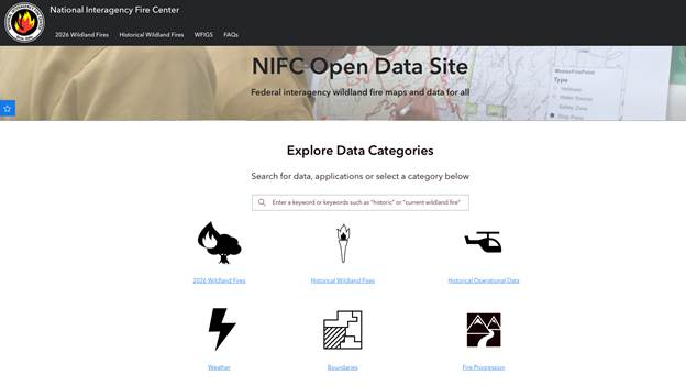
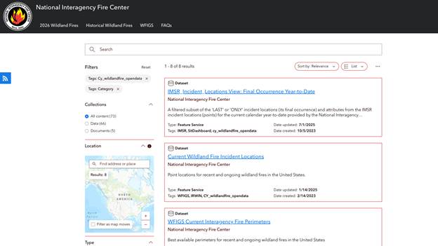
- The NIFC Open Data site, built with ArcGIS Hub, ensures the public has rapid, transparent access to critical information like current fire perimeters and incident locations, with approved updates pushed to the site every 5 minutes.
- Real-time firefighter locations feed into a broader intelligence picture, including field observations, ridgeline cameras, and overnight infrared flights, giving commanders a more predictable read on fire behavior.
- Behind the public-facing site, ArcGIS also powers the NIFC Org — a shared platform used by federal, state, and local agencies to operate from the same standardized data, ensuring every responder, regardless of jurisdiction, is working from the same picture.
Read the full story